Skip to main navigation Skip to main content
U.S. flag

An official website of the United States government

Here’s how you know

Dot gov

Official websites use .gov
A .gov website belongs to an official government organization in the United States.

Https

Secure .gov websites use HTTPS
A lock ( LockA locked padlock ) or https:// means you’ve safely connected to the .gov website. Share sensitive information only on official, secure websites.

Bureau of Land Management Home Page
Home
U.S. Department of the Interior
Bureau of Land Management

Open Search

  • Contact Us

 Mobile Menu

Twitter YouTube Facebook Instagram Flickr LinkedIn
  • Contact Us
  • Home
  • Visit
    • Find places to visit
    • Passes
    • Maps
    • Know before you go
    • Visitor Centers
    • Camping
    • Climbing
    • E-Bikes
    • Hiking
    • Hunting, Fishing & Shooting
    • Mountain Biking
    • Off-Highway Vehicles
    • Rockhounding
  • About
    • Our Mission
    • Leadership
    • Organization Chart
    • What We Manage
    • How We Manage
    • History of the BLM
    • Laws and Regulations
    • FOIA
    • Data
  • Learn
    • Kids
    • Teachers
    • Can I Keep This?
    • Visitor Centers
    • Science in BLM
    • BLM Library
    • National Training Center
  • Services
    • Government-to-Government Tribal Consultation
    • Collaborative Action and Dispute Resolution
    • Contracting
    • Financial Assistance and Grants
    • Forms
    • Geospatial
    • Land Records
    • National Operations Center
    • Office of Civil Rights
  • Get Involved
    • Resource Advisory Councils
    • Partnerships
    • Volunteers
    • Artist-in-Residence
    • Internships
    • Careers
    • Donations
      • Donations via Recreation.gov
  • Programs
    • Energy and Minerals
    • Planning and NEPA
    • National Conservation Lands
    • Recreation and Visitor Services
    • Wild Horse and Burro
    • Lands, Realty & Cadastral Survey
    • Law Enforcement
    • Fire
    • Cultural Resources
    • Paleontology
      • Paleontology Stories
      • Where can I see fossils?
      • Can I collect fossils?
      • Paleontology Management
    • Plants and Seeds
    • Air Resources
    • Forests & Woodlands
    • Rangelands and Grazing
    • Weeds and Invasives
    • Wildlife Conservation
    • Aquatic Resources
    • Abandoned Mine Lands
      • About AML
      • AML Dangers
      • Regional AML Information
        • Alaska AML
          • Kolmakof Mine AML
          • Red Devil Mine AML
            • Admin Record
            • Community Involvement
        • Arizona AML
        • California AML
          • Keeler Mine AML
          • Keyes Stamp Mill AML
          • Rand Historic Mining Complex AML
          • Scorpion Mine AML
        • Colorado AML
        • Idaho AML
        • New Mexico AML
        • Utah AML
    • Hazardous Material Management
      • About Hazardous Material Management
    • Subsistence
    • Land and Water Conservation Fund
  • Info
    • Alerts
    • Congressional Testimony
    • Events & Meetings
    • Federal Register
    • Magazines and Newsletters
    • National Public Rooms
    • Public Input & Actions
    • Our Stories
      • Weekly Story Maps
      • Podcasts
        • On the Ground
        • Your American Lands
    • Policy
    • Press Releases
    • Social Media
    • RSS Feeds
    • Website Disclaimer
  • States
    • Alaska
    • Arizona
    • California
    • Colorado
    • Eastern States
    • Idaho
    • Montana-Dakotas
    • Nevada
    • New Mexico
    • Oregon-Washington
    • Utah
    • Wyoming
    • Law Enforcement Headquarters
    • National Interagency Fire Center
    • National Operations Center
    • National Training Center
  • Contact Us
  • Fire Restrictions

Wilderness

  • Wilderness Boundary Documentation
Twitter YouTube Facebook Instagram Flickr LinkedIn
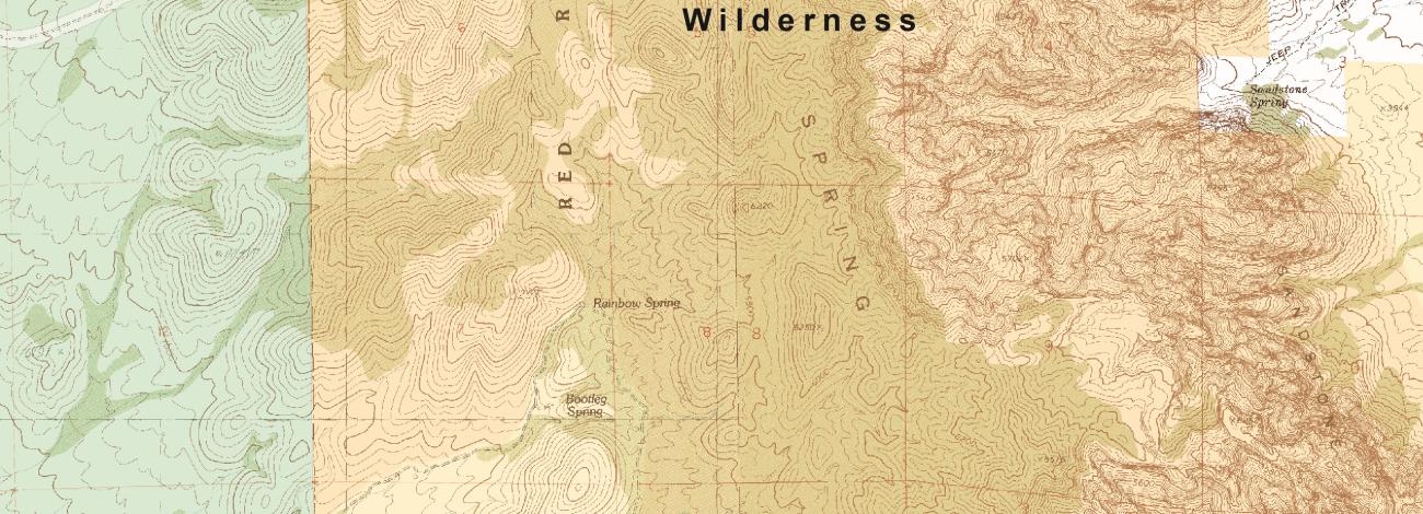
large scale mape thumbnail depicting contour lines and roads
  1. Home
  2. Programs
  3. National Conservation Lands
  4. About the National Conservation Lands
  5. Wilderness
  6. Wilderness Boundary Documentation

Wilderness Boundary Documentation

In 1964, Congress enacted the Wilderness Act, landmark legislation that permanently protected some of the most natural and undisturbed places in America. In 1976, with the passage of FLPMA, the Bureau of Land Management became the fourth agency to manage units of the National Wilderness Preservation System.  This page provides links to Bureau of Land Management wilderness areas that have completed official maps and legal boundary descriptions that have been transmitted to Congress.


Using the links below you can find Wilderness Areas by state and select specific ones to download the Congressionally required map and legal boundary description for BLM designated wilderness areas.

Arizona

  • Boboquivari
  • Aravaipa
  • Hummingbird Springs

California

  • Beauty Mountain
  • Otay Mountain

Idaho

  • Little Jacks Creek
  • Big Jacks Creek

Nevada

  • South Egan Range
  • Mount Moriah
  • Mount Grafton
  • Highland Ridge
  • Goshute Canyon
  • Government Peak
  • Bristlecone
  • Becky Peak
  • Clover Mountains
  • Big Rocks
  • Ireteba Peaks
  • Eldorado
  • Arrow Canyon

Utah

  • Deep Creek

Wilderness

  • Wilderness Boundary Documentation
Bureau of Land Management Home Page
Home
U.S. Department of the Interior
Bureau of Land Management
Twitter YouTube Facebook Instagram Flickr LinkedIn

Footer Utility

  • About BLM
  • Careers
  • Contact Us
  • Maps
  • Information Center
  • Website Disclaimers
  • Feedback
  • Report Misconduct
  • Office of Civil Rights
Twitter YouTube Facebook Instagram Flickr LinkedIn

blm.gov

An official website of the Department of the Interior

  • About DOI.gov
  • Accessibility statement
  • FOIA requests
  • No FEAR Act data
  • Office of the Inspector General
  • Budget & performance reports
  • Agency financial reports
  • Disclaimer
  • Privacy policy
  • Vulnerability disclosure policy
  • Cummings Act notices
Looking for U.S. government information and services? Visit USA.gov