Slocum Creek Wilderness Study Area
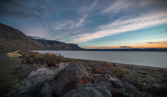
The Slocum Creek Wilderness Study Area (WSA) (OR-3-75) is located east of Owyhee Reservoir in Malheur County, approximately 47 miles south of Vale. U.S. Highway 95 is approximately 30 miles to the southeast. The WSA includes 7,600 acres of BLM land. It is pear-shaped, approximately 5.5 miles long and 3 miles wide. It is bounded by the high standard, gravel Leslie Gulch road on the north; by private land and maintained dirt roads on the east, south and west; and by Bureau of Reclamation-administered land on the northwest. It is adjacent to the Honeycombs (OR-3-77A) and Upper Leslie Gulch (OR-3-74) WSAs and separated from them by high standard or maintained dirt roads.
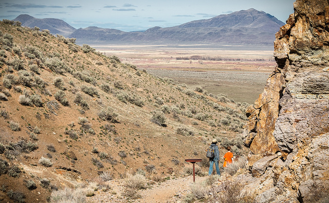
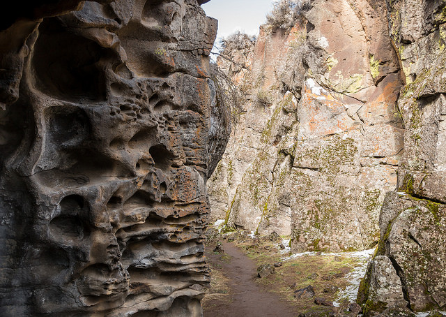
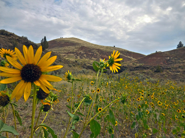
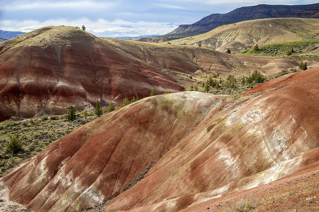
The WSA contains rugged topography formed by intermittent streams cutting through thick, volcanic deposits. The resulting land pattern is composed of steep-sided drainages separated by high, south-oriented ridges. Over 85 percent of the WSA has gradients exceeding 25 percent. Natural vegetation consists mostly of and grass. Western junipers are scattered throughout the area. A small, relict stand of ponderosa pine is located in the Dago Gulch drainage of the WSA.
The WSA was studied under Section 603 of the Federal Land Policy and Management Act (FLPMA) and was included in the Final Oregon Wilderness Environmental Impact Statement (EIS) filed in February 1990.

