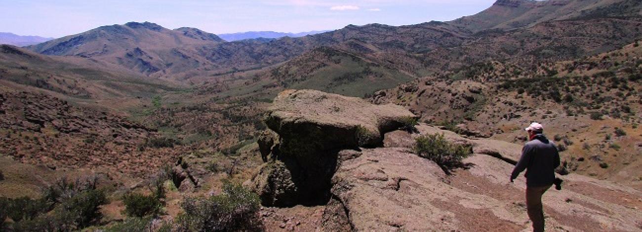
Pueblo Mountains Wilderness Study Area
The Pueblo Mountains WSA (OR-2-81/NV-020-642) is located 96 miles south of Burns and 5 miles south of Fields, Oregon. Almost all of the area is within Harney County, although a small portion crosses the state line into Humboldt County, Nevada. The entire study area lies to the west of the main north-south county road which runs between Fields and Denio, Nevada. The nearest major highway is Nevada State Highway miles to the south of the WSA.
The WSA is an irregularly-shaped area containing 68,710 acres of BLM land in Oregon, plus 600 acres of BLM land in Nevada. In addition, there are 3,380 acres of split-estate lands in Oregon.
At the extremes, the area is 15 miles long and 11 miles wide. The boundary is formed by a combination of private land, BLM roads, a paved county road (east side only), and legal subdivisions. Legal subdivisions form the boundary where portions of the inventory unit were excluded from further wilderness review because they lacked wilderness characteristics. In addition, 12 low standard dead-end dirt roads (totaling 17 miles) enter the study area from various points around the perimeter and also form part of the boundary. One of the roads ends at a 320-acre parcel of private property, making the parcel a of the boundary even though it is surrounded by the wilderness study area.
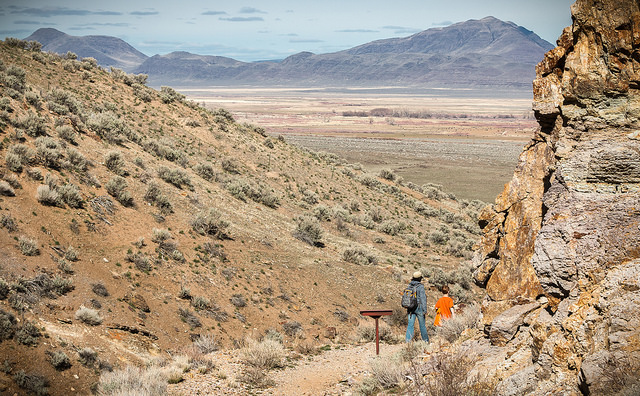
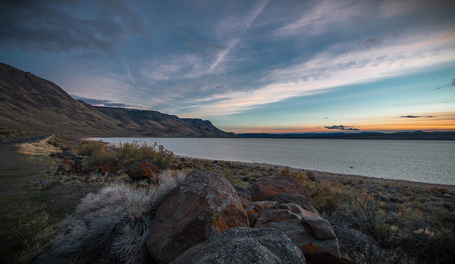
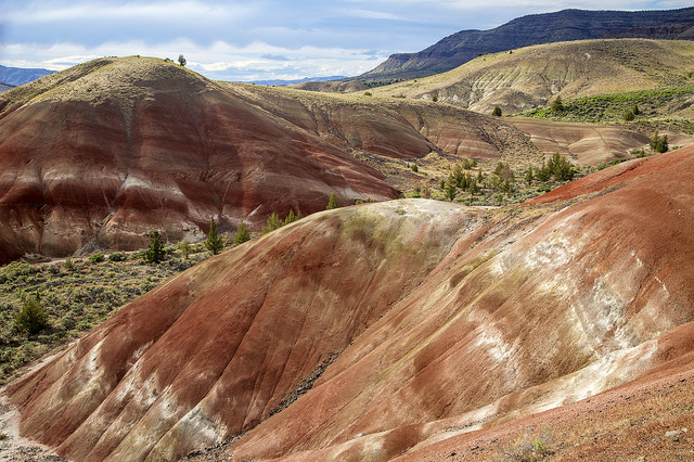
The most prominent physical feature of the study area is the Pueblo Mountains ridgeline which runs north and south along the entire length of the western half of the WSA. This is a tilted fault block mountain range, the eastern side of which has been uplifted along a north-south trending fault. Averaging 7,300 feet in elevation along the crest, the eastern face of this ridge is steep, rugged and rocky while much of the western slope is like a table top tilted to the west at nearly a 20 to 25-degree angle.
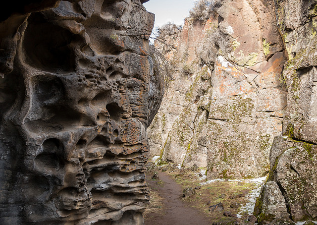
Less than 3 miles east of the western ridge lies a shorter (g-mile-long) north-south ridgeline. Along this ridgeline is Pueblo Mountain. At 8,634 feet, it is the second highest peak in southeastern Oregon and the highest point in the study area. Two major drainages originating in the central portion of the study area, Willow Creek and Cottonwood Creek skirt this ridgeline to the north while both Arizona Creek and Van Horn Creek cut through the ridge within rugged canyons. Denio Creek also cuts through the ridge; a portion of this drainage is outside the study area to the south.
Although steep, the east slope of the eastern ridge is much less rugged and rocky than the east slope of the western ridge. The eastern ridge gives way to foothills and lowlands along the eastern boundary as it merges with Pueblo Valley.
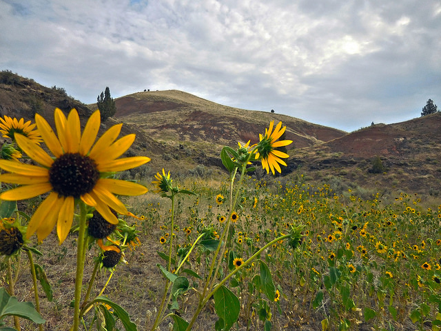
It is along the eastern boundary that the study area reaches its lowest elevation (at several points) of just under 4,200 feet. A series of valleys, basins and meadows lie in the erosional valley between the two ridges.
The WSA was initially studied under Section 603 and 202 of the Federal Land Policy and Management Act (FLPMA). Lands added after the wilderness inventory were studied under Section 202, also of FLPMA. These lands were included in the final Oregon Wilderness Environmental Impact Statement (EIS) filed in February of 1990.

