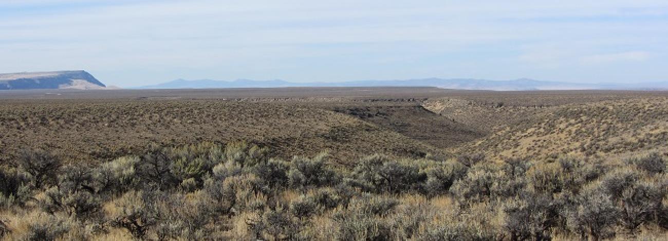
Orejana Canyon Wilderness Study Area
The Orejana Canyon Wilderness Study Area (WSA) (OR-1-78) is located in Harney County, Oregon, 30 miles northeast of the small town of Plush, Oregon. U.S. Highway 395 is located 35 miles to the west of the WSA, and Oregon State Highway 140 is approximately 40 miles to the south.
The WSA contains 24,600 acres, all of it BLM land, and except for a block of state land to the west, the surrounding lands are BLM. The southern, eastern and northern boundaries of the WSA are defined by low standard roads; the western boundary is defined by a low standard road for approximately 5 miles and by a way for approximately 7 miles along the base of Orejana Rim.
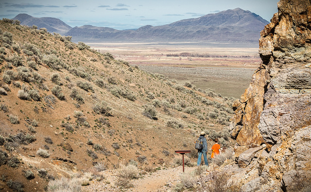
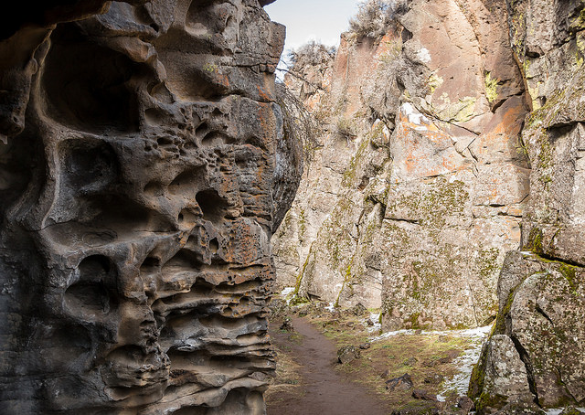
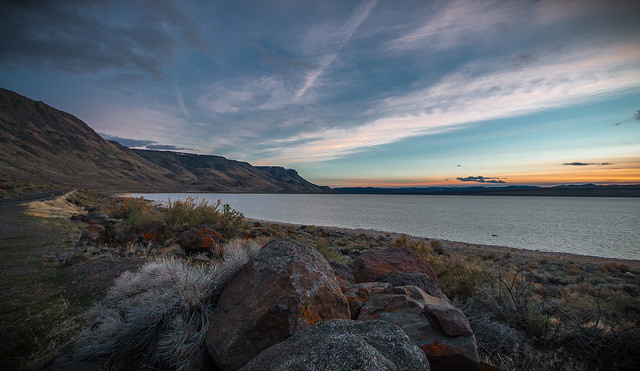
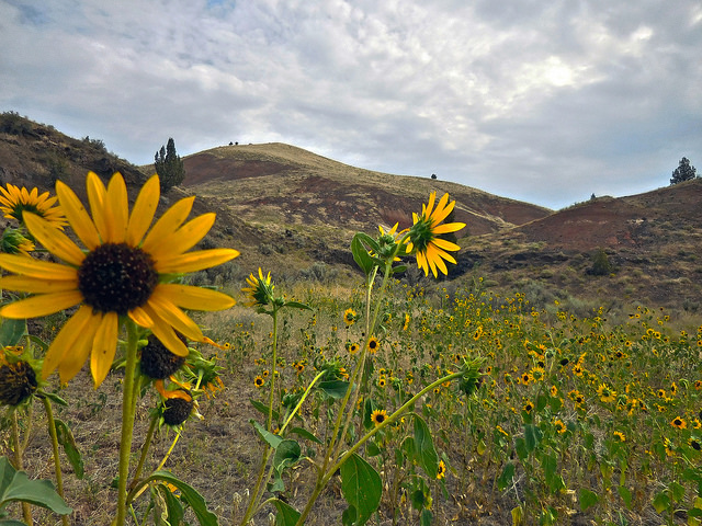
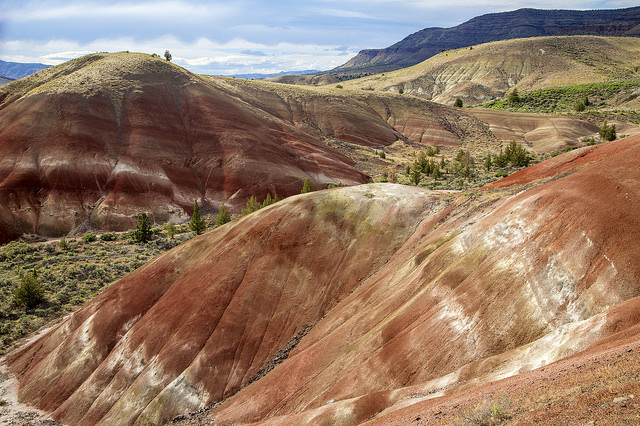
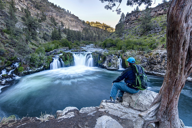
The WSA is characterized by the Orejana Rim and the Orejana Canyon, which runs most of the length of the WSA from north to south. Five small side canyons run along the length of Orejana Canyon. The vegetation in the study area is sagebrush/bunchgrass. The WSA is broken geographically, segregated into a large scale in the north called “the Basin,” and the lower thirds of the area contain a high plateau known as “the island” and the confines of Orejana Canyon. A sagebrush/bunchgrass composes the area's vegetation.
The WSA was studied under Section 603 of the Federal Land Policy and Management Act and was included in the Final Oregon Wilderness Environmental Impact Statement (EIS) filed in February 1990.

