Honeycombs Wilderness Study Area
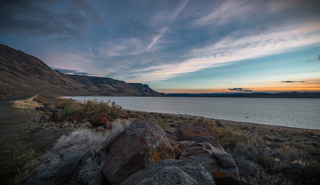
The Honeycombs Wilderness Study Area (WSA) (OR-3-77A) is located in Malheur County, Oregon, east of the Owyhee Reservoir and approximately 31 miles south of Vale. Oregon State Highway 201 is approximately 15 miles northeast of this WSA. The WSA includes 39,000 acres of BLM land.
The WSA has an oblong configuration and is bounded on the south, east, and north by high standard BLM roads. The west border abuts public land administered by the Bureau of Reclamation and the State of Oregon along Owyhee Reservoir. A 40-acre plot of private land is located along the southern border. Three dead-end roads enter the WSA, forming part of the boundary. A road to a horse trap in the Sheephead Basin area enters the WSA from the north. A 3-mile road enters the area at Craig Gulch and terminates at Three Fingers Gulch. A branch of this road crosses Shadscale Flat and ends at Shadscale Spring. The third road, 0.75 mile long, enters the WSA one mile north of Craig Gulch and ends at a mining claim.
The Honeycombs WSA is adjacent to three other WSAs south of Wild Horse Basin WSA and north of Upper Leslie Gulch (OR-3-74) and Slocum Creek (OR-3-75) It is separated from these three other by high standard dirt roads. Across from the Honeycombs WSA and located on the west side of the Owyhee Reservoir is Dry Creek Buttes WSA (OR-3-56).
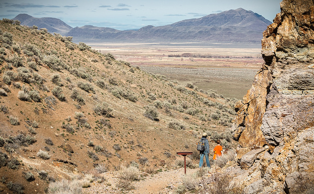
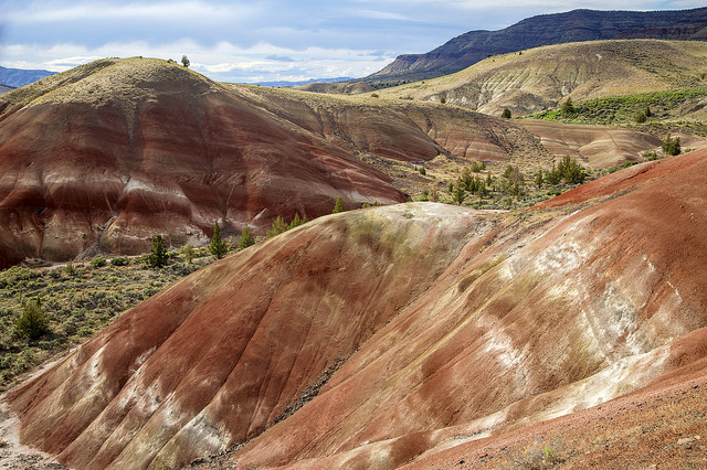
Topography in the WSA is rugged. A thick deposit of volcanic tuff is cut by numerous intermittent streams, resulting in a broken surface of ridges, hills, and drainages, with frequent outcrops and pinnacles. Several areas of relatively level land are found in Shadscale Flat and Sheephead Basin.
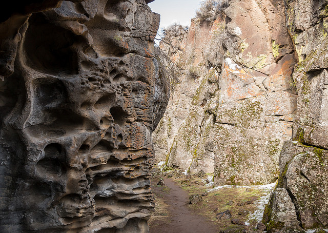
In the northern portion of the WSA is an area of approximately 12,000 acres called the Honeycombs. The Honeycombs is a very scenic area of steep walled canyons with sculpted, multi-colored rock formations of volcanic origin.
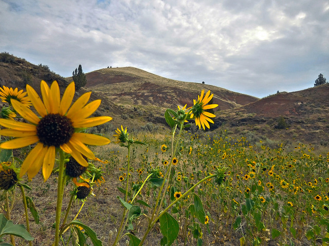
Sagebrush and grasses are the predominant plants in the WSA. Junipers are scattered on a few slopes and in several of the drainages.
The WSA was studied under Section 603 of the Federal Land Policy and Management Act (FLPMA) and was included in the Final Oregon Wilderness Environmental Impact Statement (EIS) filed in February 1990.

