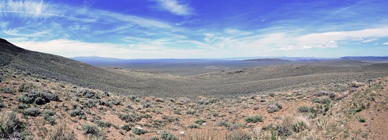
Hawk Mountain Wilderness Study Area
The Hawk Mountain Wilderness Study Area (WSA) (OR-1-146A) is located in southern Harney County, approximately 73 miles east of Lakeview, Oregon U.S. Highway 140 passes 5 miles southwest of the WSA.
The boundaries are described by a high standard gravel road on the northwest, private land and a fence line on the north, low standard dirt roads on the northeast and southwest, and the Charles Sheldon National Wildlife Refuge (fence located on the Nevada State line) on the south. The adjacent lands are public except for some private lands along the northern boundary at Mountain. A dead-end road extends 2.5 miles to a horse trap near the northwest corner of the WSA. The road and horse trap site are excluded from the WSA.
The study area contains 66,360 acres of BLM land and two 640-acre parcels of split-estate lands.
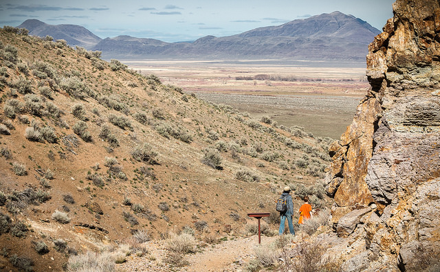
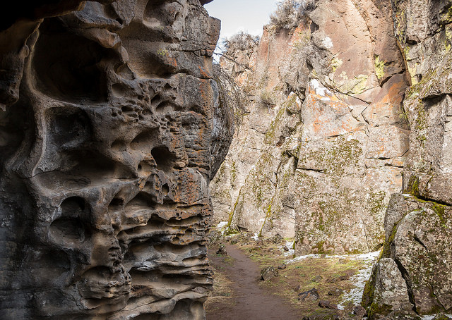
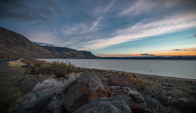
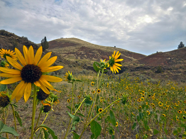
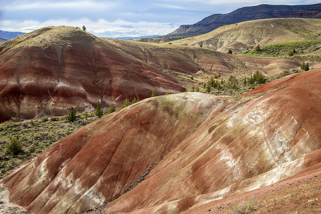
Approximately two-thirds of the study area is in the District and approximately one-third is in the Burns District. The west side of the WSA is characterized by rolling sagebrush hills and low broken grading eastward toward the lake basin known as Hawksie Walksie. The steeper ridges and peaks of Mountain, Hawk Mountain and Lone Juniper Mountain flank the basin to the north and northeast. To the east are buttes of partially exposed columnar basalt, areas of colorful volcanic soils and stone, and high tablelands incised by rocky draws. Elevation ranges from 5,600 feet in Hawksie Walksie Basin to 7,234 feet at the summit of Hawk Mountain.
Vegetation in the WSA is composed primarily of big sagebrush-bunchgrass communities with low sagebrush flats on the western-most portion and on the high plateaus of the southeast. Mountain shrub communities occur on northern slopes at higher elevations. Tree species are limited to scattered junipers and one grove of mountain mahogany. Excellent examples of native bunchgrass communities exist in several areas within the WSA.

