Four Craters Lava Bed Wilderness Study Area
The Four Craters Lava Bed Wilderness Study Area (WSA) (OR-1-22) is located in Lake County, Oregon, approximately 60 miles southeast of Bend, Oregon and 8 miles north of the small town of Christmas Valley. The WSA includes 11,960 acres of BLM land and 640 acres of split-estate land.
Roughly oval in shape, the study area is bounded on the west and north by a low standard dirt road and on the east and south by private land. A low standard dirt road bounds the WSA on the southeast for approximately 2 miles. A dead-end road, approximately 1.7 miles in length, extends into the WSA forming part of the northern boundary.
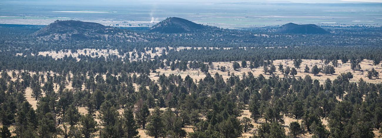
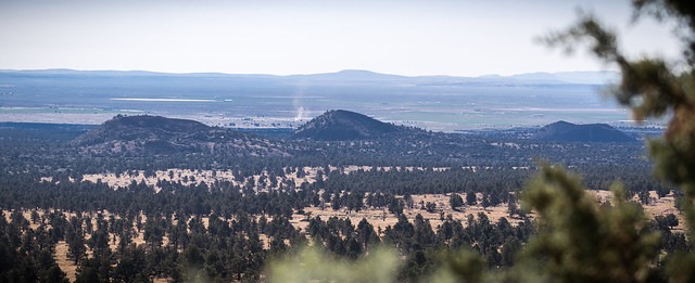
The WSA is divided into two distinctive types of land areas, each covering about half the acreage. The first type is the rugged lava flows and cinder cones. The second type is sagebrush/grassland flats. About half of the acreage in the WSA contains rugged lava flows and cinder cones. The remaining acreage is sagebrush/juniper and sagebrush/ grassland flats. The WSA contains the “Crack in the Ground,” a large tension fracture in the basalt approximately 2 miles long and from 10 to 30 feet in depth. This crack reaches a maximum width of about 20 feet. Another tension fracture, volcanic spires and pressure ridges also occur in the lava flow.
The WSA was studied under Section 603 of the Federal Land Policy and Management Act and was included in the Final Oregon Wilderness Environmental Impact Statement (EIS) filed in February 1990.

