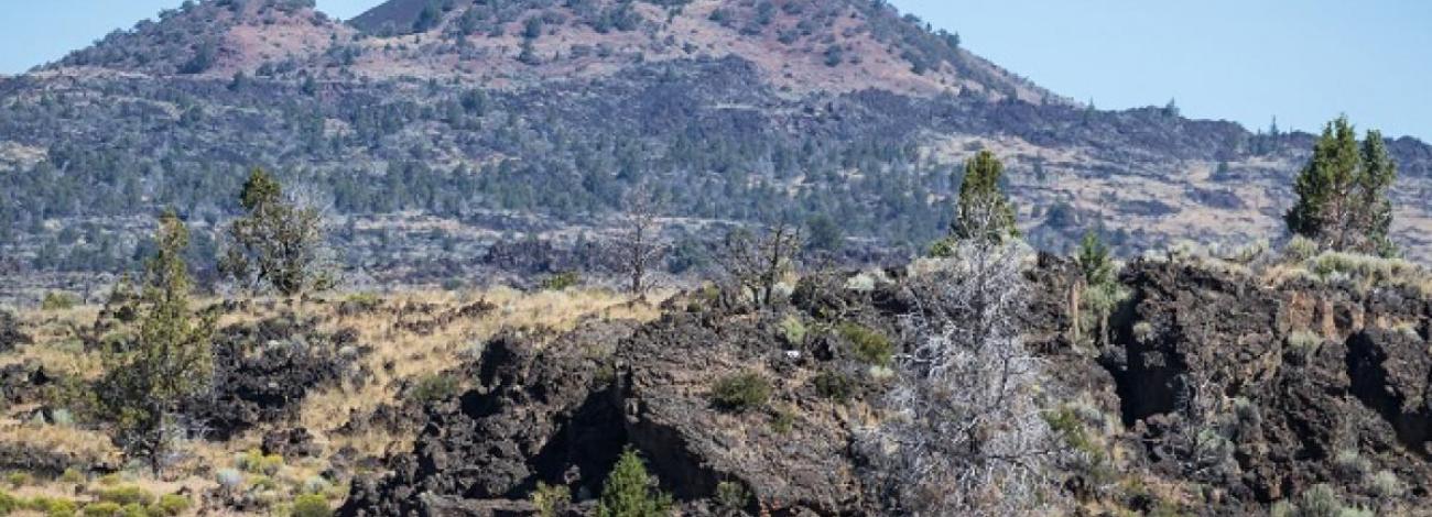
East Lava Field Wilderness Study Area
The East Lava Field WSA (OR-1-3) is located approximately 80 miles southeast of Bend and 26 miles from State Highway 31 in Lake County, Oregon, and approximately 12 miles northeast of the town of Fort Rock. The study area contains 27,700 acres of BLM land, 640 acres of split-estate land, and a 320-acre State inholding near the eastern edge of the WSA. The boundaries are described by high standard gravel roads on the south, private land and 1.5 miles of low standard dirt road on the west, low standard dirt road on the north, and low and high standard dirt roads on the east. Small portions of the east and north boundaries are formed along private land.
The WSA, roughly circular in shape, is dominated by an extremely rugged basalt flow which issued from what is now called Lava Butte, and forms a flattened cone covering approximately two-thirds of the study area. Elevation ranges from 4,300 feet to 5,585 feet at the summit of Lava Butte near the center of the WSA. Vegetation consists primarily of western communities on the lava flow, and western juniper/big rabbitbrush communities surrounding the flow. Mountain mahogany, aspen, and ponderosa pine also occur at various locations within the lava flow.
The WSA was studied under Section 603 of the Federal Land Policy and Management Act (FLPMA) and was included in the Final Oregon Wilderness Environmental Impact Statement filed in February of 1990.
