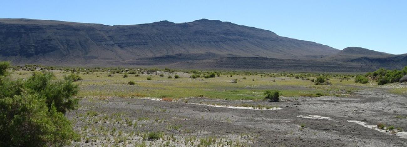
Diablo Mountain Wilderness Study Area
The Diablo Mountain Wilderness Study Area (WSA) (OR-1-58) is located in Lake County, Oregon approximately 110 miles southeast of Bend, Oregon. The south end of the WSA is 5 miles northwest of the small town of Paisley.
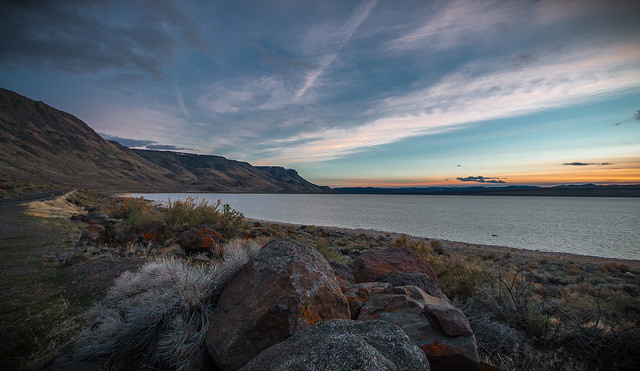
Low standard BLM roads form the boundaries on the east and south. The boundaries are formed by the medial line of Summer Lake on the west, private lands on part of the south and north, and a high standard BLM road on a portion of the north boundary. The Summer Lake State Game Management Area forms of the northwest boundary.
The WSA contains 107,920 acres of BLM land, and approximately 5,200 acres of split-estate land. There are 640 acres of state land, and 1,170 acres of private land inside the WSA.
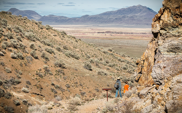
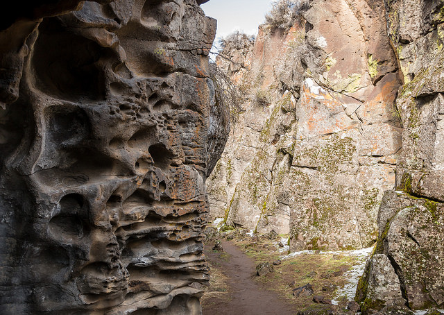
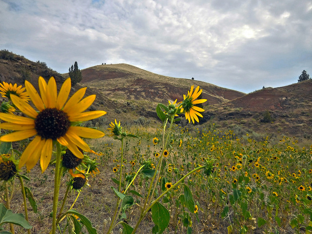
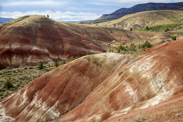
The Diablo Mountain WSA is characterized by several long north-to-south ridges, rising in elevation to the summit ridge of Diablo Mountain on the east side, where the steep of Diablo drops some 1,500 to 2,000 feet. The western half of the WSA has low, rolling terrain and salt flats on the adjacent to Summer Lake. Vegetation on the WSA presents a transition from salt flats on the far west, to salt desert shrub communities in the central portion, with sagebrush/grasslands in the higher elevations on the east.
The WSA was studied under section 603 of the Federal Land Policy and Management Act and was included in the Final Oregon Wilderness Environmental Impact Statement filed in February of 1990.

