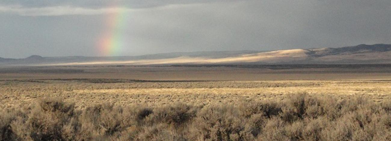
Cougar Well Wilderness Study Area
The Hampton Butte and Cougar Well Wilderness Study Areas (WSA) are in Crook and Deschutes County, approximately 60 miles southeast of Bend, Oregon, and about 180 miles southeast of Portland, Oregon. U.S. Highway 20 is less than 4 miles south of the study areas.
The Cougar Well WSA (OR-5-43) is a roughly rectangular shaped unit with 17,315 acres of BLM land. Within the WSA, are an additional 800 acres of private land and 1,120 acres of split-estate inholdings. There are 240 acres of private land at the end of a dead-end road in the WSA. The boundaries of the Cougar Well WSA are a combination of BLM-maintained roads and a major powerline with a bladed maintenance road. The eastern and northern boundaries are a combination of a maintained and BLM-maintained roads and adjacent private property. Two dead-end roads totaling 5.2 miles enter the Cougar Well WSA, forming part of the boundary.
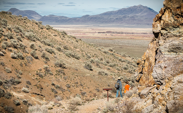
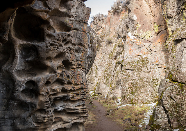
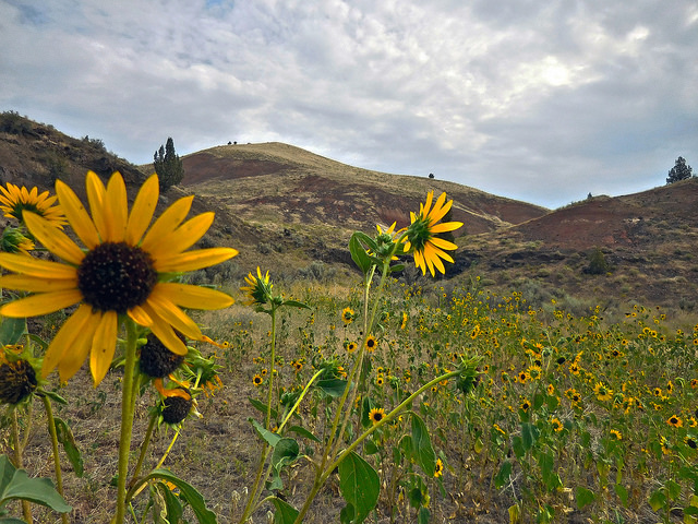
The Cougar Well WSA is similar to the Hampton Butte WSA but lower in elevation. It slopes down into the Basin with large expansive sagebrush bajadas. A small canyon bisects the southeastern portion of the WSA offering topographic relief. In the western portion, low foothills join a series of minor mountains known as the Hampton Buttes. There is no perennial water within the WSA except for some livestock water impoundments.
The WSAs were studied under Section 603 of the Federal Land Policy and Management Act and were included in the Final Oregon Wilderness Environmental impact Statement (EIS) filed in February 1990.

