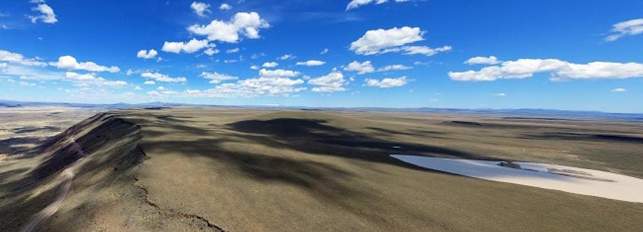
Cedar Mountain Wilderness Study Area
The Cedar Mountain Wilderness Study Area (WSA) (OR-3-47) is located in Malheur County, Oregon, approximately 50 miles southwest of Vale and 30 miles northwest of Jordan Valley. It lies midway (approximately 25 miles) in a triangle between State Highway 78 and U.S. Highways 20 and 95. The WSA includes 31,440 acres of BLM lands and 2,160 acres of split-estate lands. In addition, there is one 80-acre parcel of private land inside the WSA. The shape of the WSA is irregular. The boundary consists of a fence line on the north, and BLM roads and private land on the remainder. The eastern boundary road and the dead-end road from Ranch to Cook Stove Basin Reservoir are low standard dirt roads, while the remaining boundary roads are high standard dirt roads. Two end roads which terminate at earthen reservoirs are excluded from the WSA and serve as part of its boundary. One, extending from the northern boundary to Cook Stove Basin Reservoir, is 4.5 miles long. The other, 0.5 miles in length, extends form the western boundary to North Gallagher Reservoir.
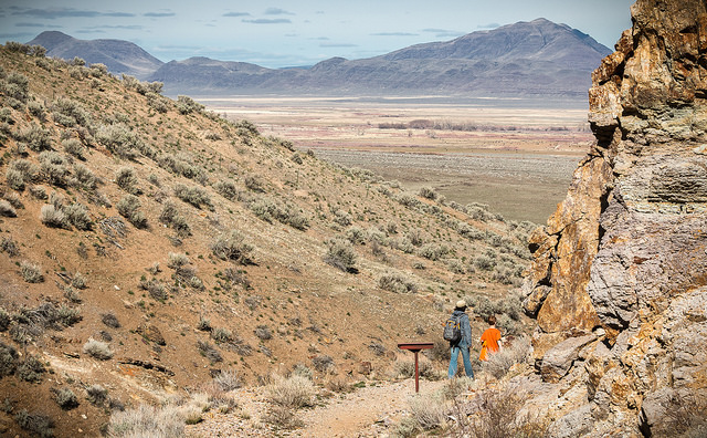
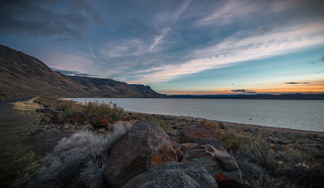
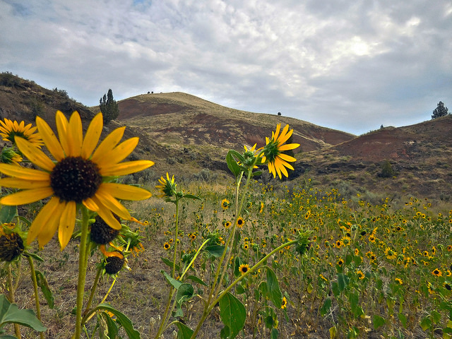
The WSA is comprised of Cedar Mountain and its slopes, with elevations in the WSA ranging from 3,940 feet to 5,560 feet. The base of the mountain is approximately at the boundary of the WSA. Cook Stove Basin contains a natural (shallow lake during wet years) and is located west of the summit along the crest of Cedar Mountain. Predominant vegetation in the WSA is Wyoming big sagebrush with an understory of grasses and forbs. Higher elevation portions of the WSA support western juniper in moderately dense stands.
The WSA was studied under section 603 of the Federal Land Policy and Management Act (FLPMA), and was included in the Final Oregon Wilderness Environmental Impact Statement (EIS) filed in February 1990.

