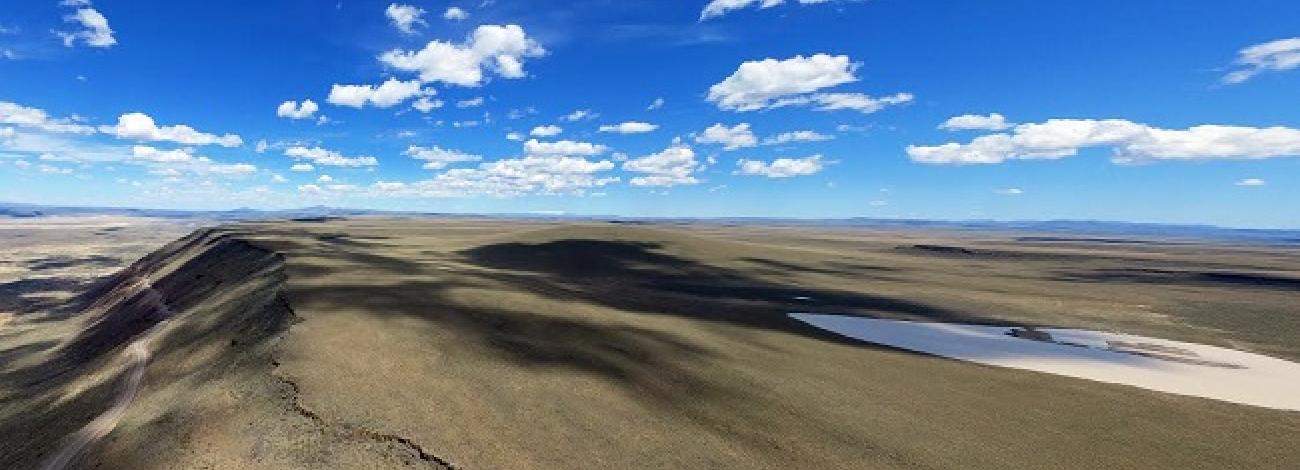
Camp Creek Wilderness Study Area
The Camp Creek Group of Wilderness Study Areas includes: Camp Creek (OR-3-31) which has 19,200 acres (18,520 acres BLM land and 680 acres of split-estate); Cottonwood Creek (OR-3-32) which has 8,700 acres (8,540 acres of BLM land and 160 acres of split estate); Gold Creek (OR-3-33) which has 13,600 acres (12,920 acres of BLM land and 680 acres of split estate); and Sperry Creek (OR-3-35) which has 5,360 acres of BLM land. The southernmost Cottonwood Creek WSA shares an 8-mile common road boundary along Cottonwood Creek canyon and Alder Creek with Camp Creek WSA. Immediately north of Camp Creek WSA across a 1-mile common road boundary is Gold Creek WSA, and to the west of Gold Creek WSA along a 4-mile common road boundary is Sperry Creek WSA. These contiguous are located in Malheur County, Oregon, approximately 32 miles southwest of Vale, adjacent to and up to 15 miles immediately south of U.S. Highway 20.
The four contain 45,340 acres of BLM land and five parcels of split estate land totaling 1,520 acres. This total acreage is a revision from the Final Oregon Wilderness Environmental Impact Statement, filed in February 1990.
The majority of the outermost boundaries consist of roads on public land. Between Camp Creek and Cottonwood Creek there is a 40-acre private parcel located at the confluence of Cherry and Cottonwood Creeks. The north boundaries of Gold Creek and Sperry Creek mostly abut private land parcels along U.S. Highway 20. Elsewhere, each of the outermost boundaries are partially defined by private land parcels.
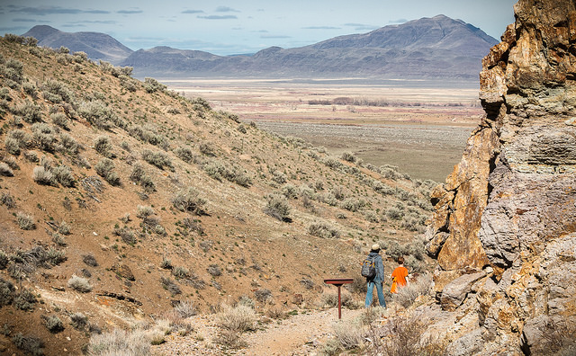
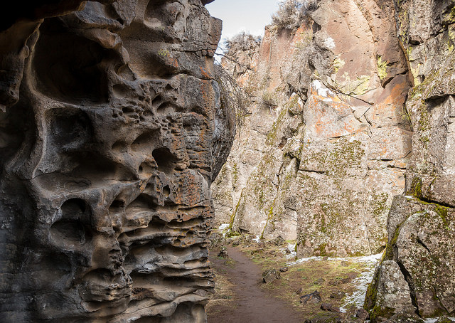
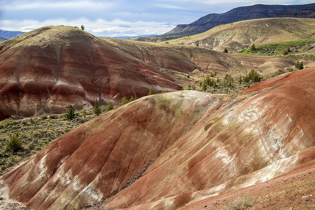
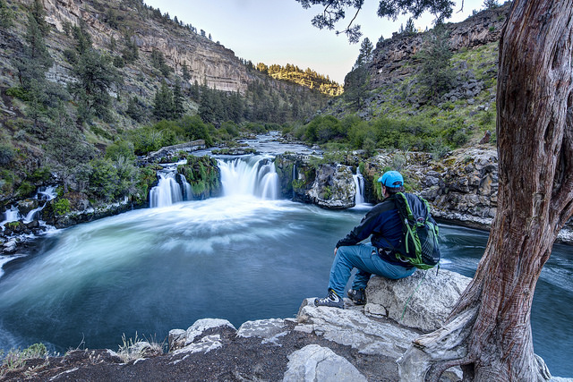
The combined shape of the four resembles an hourglass approximately 15 miles long, 6 to 7 miles wide at each end, and 1.5 miles wide at the middle. They are characterized by deep, rugged canyons which dissect rimrock-edged tablelands. Elevations range from 2,700 to 5,300 feet. The dominant vegetation on the tablelands is low sagebrush and bluebunch wheatgrass.

