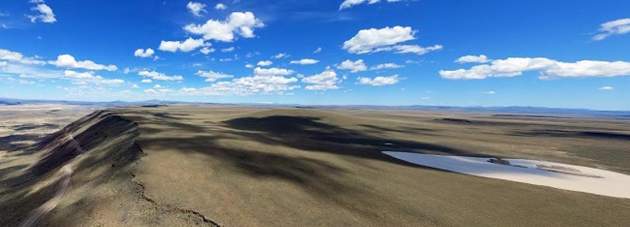
Blue Canyon Wilderness Study Area
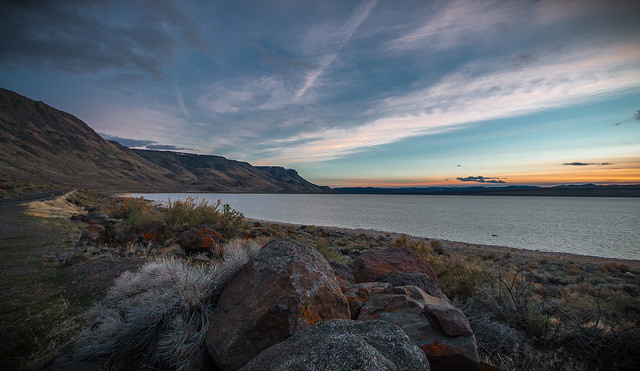
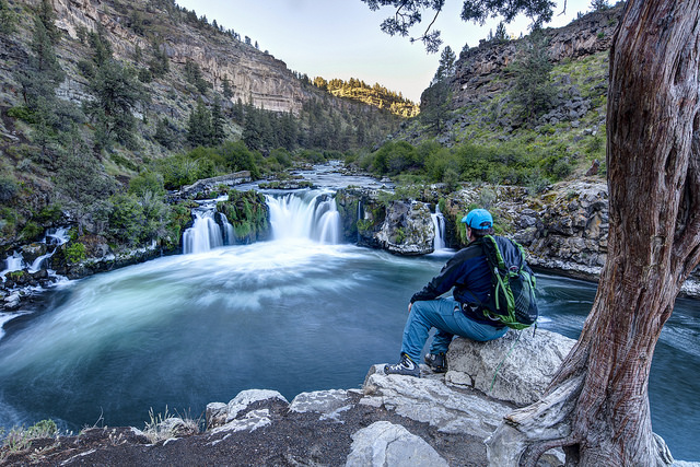
The Blue Canyon Wilderness Study Area (WSA) (OR-3-73) is located in Malheur County, approximately 47 miles southwest of Vale, 20 miles northwest of U.S. Highway 95, and 26 miles northwest of Jordan Valley. The WSA contains 12,700 acres of BLM land. There is also a 40-acre private inholding located near the southeastern boundary. The WSA is oblong, approximately 9 miles long and 5 miles wide at its widest point. It is bordered by high standard dirt roads in the northeast, southeast and southwest, and by private and Bureau of Reclamation (BOR)-administered land on the north, west and east. The BOR lands include parcels along the Owyhee National Wild River and Reservoir. Four parcels of private land abut the study area along the western and eastern boundaries.
A long road which dead-ends at two jasper mines along Diamond Butte Ridge enters the study area from the southeast. The dead-end road and most of its associated mining surface disturbance form part of the study area’s boundary. The WSA is separated by its southwest boundary road from the adjacent Owyhee Breaks WSA (OR-3-59).
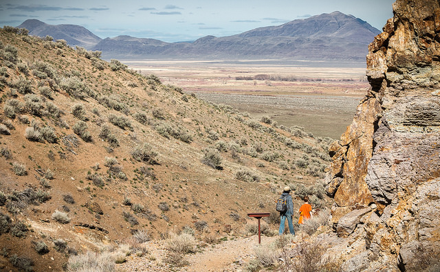
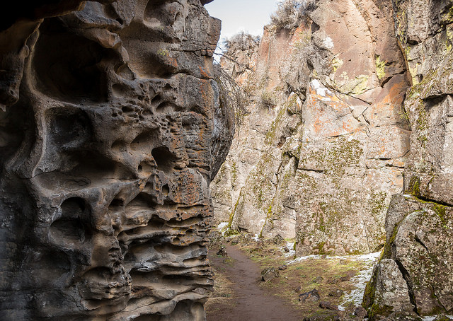
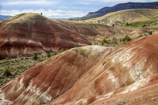
A razorback ridge bisects the WSA in a north-south orientation, culminating at Diamond Butte in the northern end of the WSA. The main ridge is hilly and cut by numerous drainages along its flanks. West of the ridge, a “breaks” type topography composed of canyons, incised drainages, rock outcrops, and exposed sediments is characteristic. East of the ridge, the terrain is generally hilly, with talus and bands of rimrock on many of the steeper slopes.
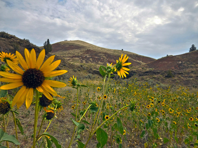
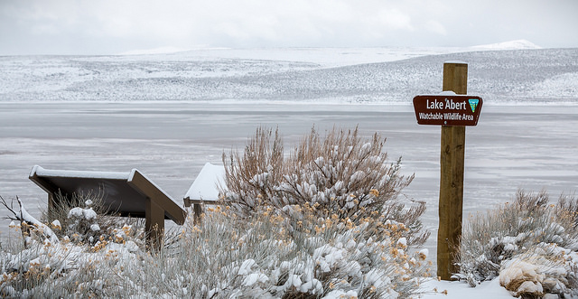
Sagebrush and grasses are the characteristic plants within the WSA. Junipers are scattered along the drainages; in moist pockets, willows, mock orange, currants and roses are found.
The WSA was studied under Section 603 of the Federal Land Policy and Management Act (FLPMA) and was included in the Final Oregon Wilderness Environmental Impact Statement (EIS) filed in February 1990.

