Abert Rim Wilderness Study Area
The Abert Rim Wilderness Study Area (WSA) (OR-1-101) is located 26 miles north of and 3 miles northeast of Valley Falls, in Lake County, Oregon. U.S. Highway 395 passes along the west boundary of the WSA.
The boundaries of the study area are defined by the right-of-way of Highway 395 and private land on the west, private land on the south, primarily low standard dirt roads and some private land on the east, and a powerline right-of-way on the north.
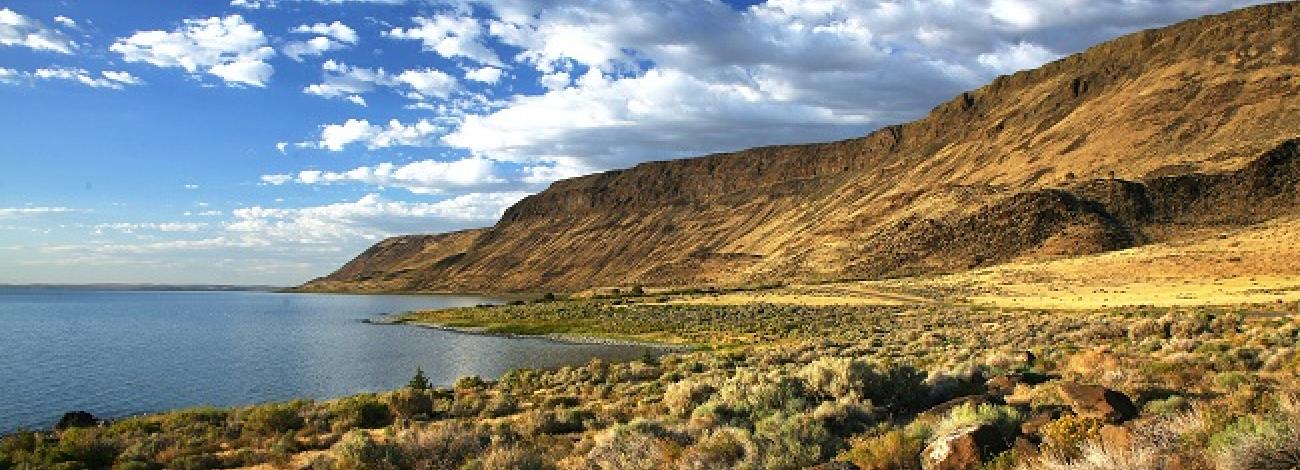
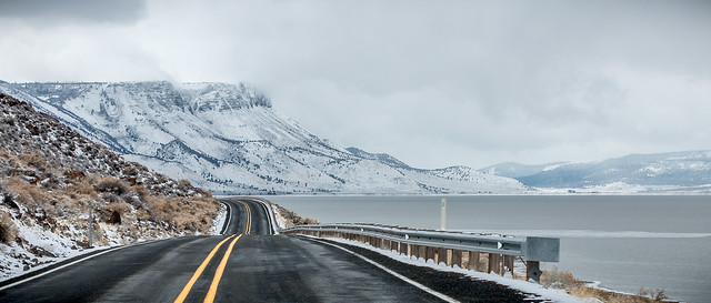
There are 23,280 acres of BLM land in the Abert Rim WSA and 480 acres of split-estate lands. There are no private inholdings. The study area is 21 miles long and varies in width from 1.5 miles in the north to 4 miles in the south. It is dominated by Abert Rim, a high west-facing fault rising over 2,000 feet above Lake Above the rim, the land slopes gently to the east. Several intermittent streams, ponds and springs occur in the WSA, and there is an isolated stand of ponderosa pine known as Colvin Timbers near the southeast boundary.
Vegetation in the WSA varies from salt-desert shrub communities at the base of the rim, with stringers of mountain mahogany, juniper, aspen on the face, and ponderosa pine along the uplands. The ponderosa pine is located in an isolated stand known as “Colvin Timbers.” These trees are located 5 miles north of the Fremont National Forest boundary and are the most northerly location of pine in the Warner Mountains.
The WSA was studied under Section 603 of the Federal Land Policy and Management Act and was included in the Oregon Wilderness Final Environmental impact Statement (EIS), filed in February of 1990.

