Wyoming Lands and Realty
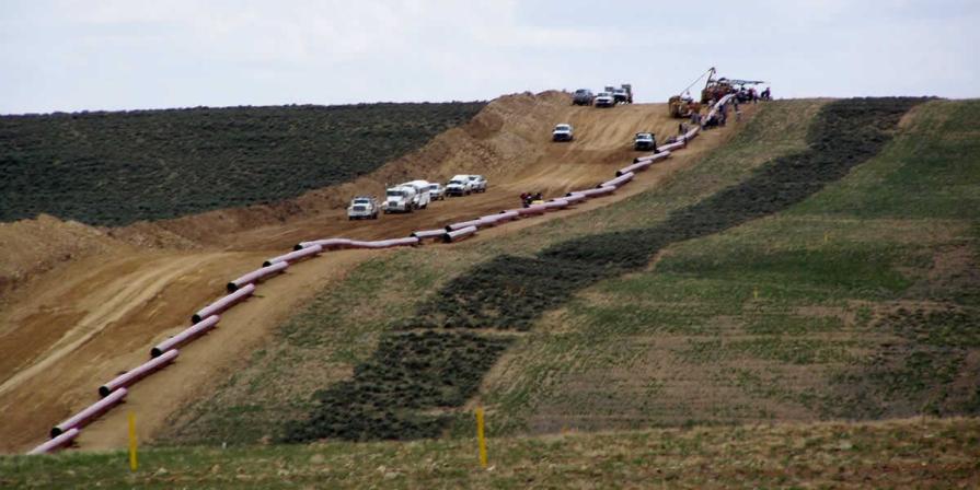
BLM Wyoming manages 18.6 million acres of public surface estate and 53.2 million acres of federal mineral estate. The Lands and Realty program is responsible for issuing rights-of-ways, including renewable and non-renewable energy, land use permits for a wide variety of uses, working on land tenure adjustments, land exchanges, sales, acquisitions and processing and managing a workload related to withdrawals.
Cadastral Surveys
In Wyoming, Cadastral Survey completes an average of 25 official surveys and many administrative surveys per year, covering approximately 500 miles and setting approximately 1,000 monuments. Our field surveyors are stationed so that they can best assist district and field offices on boundary related issues and provide input into the decision making process. The Wyoming geodesist, a member of the cadastral team, can travel to provide the district and field offices with training support on the use of GPS equipment and related software, and is available to assist with administrative projects.
The BLM National Cadastral Survey webpage has links to national cadastral documents, including: the BLM Mineral Survey Roster, digital 2009 manual with errata and a link for acquiring hard copies, Specifications for Land Descriptions, and Cadastral Organizations with contacts.
