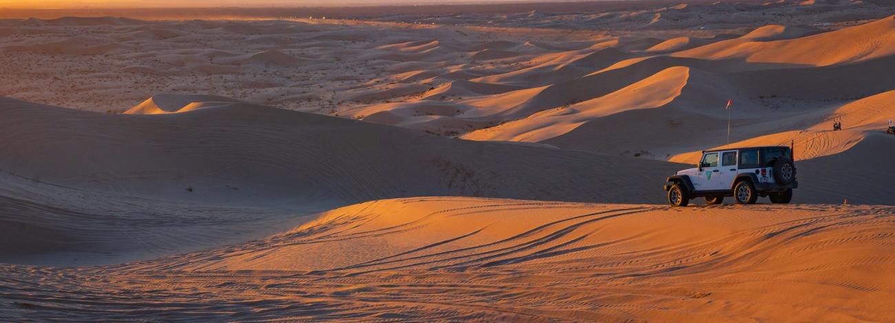
El Centro Field Office
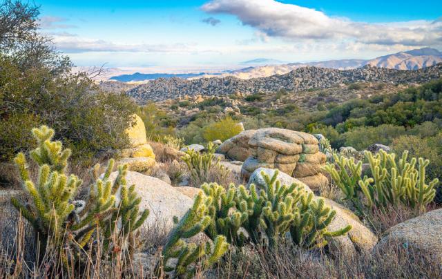
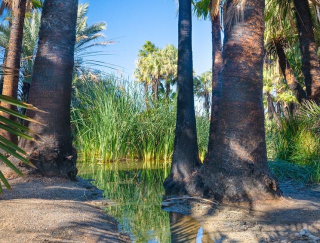
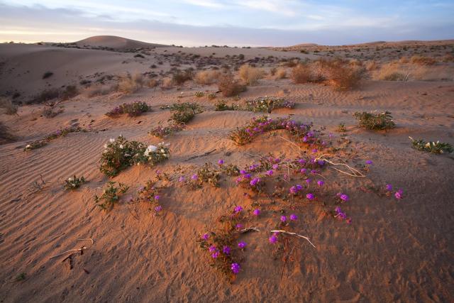
The Bureau of Land Management, El Centro Field Office manages approximately 1.4 million acres of public lands spread across two counties: Imperial and San Diego.
Approximately 95% of the public lands lie within Imperial County. The area is bordered by the U.S./Mexico International border to the south and the Riverside County line to the north.
El Centro Field Office Interactive Map
Field Office Boundaries are marked in blue and different data layers are available in the top right ‘Layer List’. Some characteristics will become visible as the map is zoomed in.
Recreation Areas
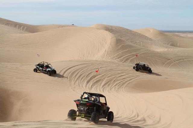
- Imperial Sand Dunes
- Cottonwood Campground
- Hot Springs Long Term Visitor Area
- Pilot Knob Long Term Visitor Area
- Tamarisk Long Term Visitor Area
- Tumco Historic Mine
- North Algodones Dunes Wilderness
- Carrizo Gorge Wilderness
- Jacumba Wilderness
- Coyote Mountains Wilderness
- Fish Creek Mountains Wilderness
Trails
- Yuha Desert portion of the Anza Historic Trail
- Juan Bautista Anza Borrego Historic Trail
- Pacific Crest Trail
- Backcountry Discovery Trail
Hunting, Fishing and Recreational Shooting
- National BLM Hunting, Fishing and Shooting
- California BLM Hunting, Fishing and Shooting
- California Department of Fish and Wildlife (Hunting and Fishing Permits)
Georeferenced Maps
Heading out for a remote adventure? No cell coverage? No problem. The BLM has developed georeferenced maps compatible with any georeferenced map mobile application. Click here for more information and instructions.
- Georeferenced Map of Eastern Imperial County
- Georeferenced Map of North Central Imperial County
- Georeferenced Map of Western Imperial County
- Georeferenced Map of Imperial Sand Dunes Recreation Area
- Georeferenced Map of Eastern San Diego County
- Georeferenced Map of Lark Canyon
Brochures
Leadership
Carrie Sahagun
Latest News
Contact
El Centro, CA 92243
TTY/Relay System
If you are deaf, hard of hearing, or have a speech disability, please dial 7-1-1 to access telecommunications relay services.

