California Maps
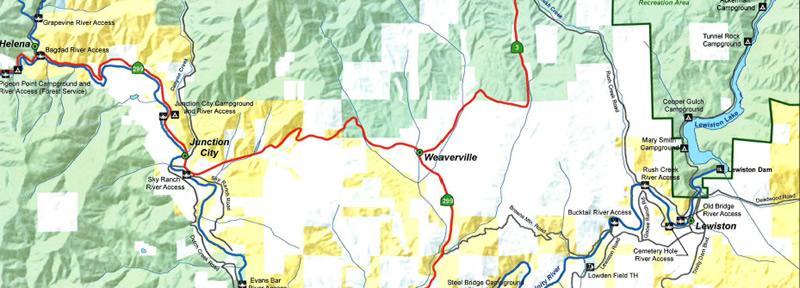
Map Viewer/Interactive Map - This interactive online map system helps you easily find, view and create maps by turning on or off layers.
Maps and Brochures - Our BLM California Public Room has a wide range of maps and brochures to help you plan your next trip.
Georeferenced PDF Maps - No cell coverage needed with these georeferenced maps, compatible with any georeferenced map mobile application.
Geospatial Business Platform Hub - Download Geospatial (GIS) Data - The Bureau of Land Management California data library allows users to access geospatial data sets as either a downloadable ESRI file geodatabase, or through Web Services.
Story Maps - maps and stories about some of our favorite places.
