An official website of the United States government
Here’s how you know
Official websites use .gov
A .gov website belongs to an official government organization in the United States.
Secure .gov websites use HTTPS
A lock (
) or https:// means you’ve safely connected to the .gov website. Share sensitive information only on official, secure websites.
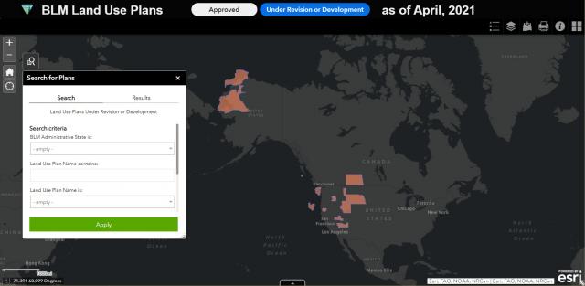
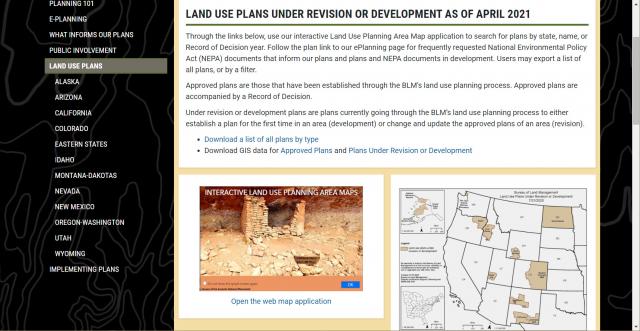
Learning which BLM resource management plans (RMPs) are currently in development or undergoing revision just got easier, with the addition of the Interactive Land Use Planning Maps Web Experience to the agency’s online mapping platform and external website.
The app replaces static PDF maps showing similar information at single, broad scales with a dynamic, GIS-driven system that is easier to keep up-to-date and also links directly to current, approved RMPs and related environmental documents in the agency’s ePlanning database.
Individual users, stakeholder groups and businesses will now be able to determine which RMPs may be in development with opportunities for public involvement and more readily find the approved plan that covers an area where they may be contemplating a use or activity. The app enables users to display and search on a number of data fields that will be kept current to ensure consistency and transparency at all scales – field office, State and nationally.
Heather Bernier, chief of the BLM Headquarters Division of Decision Support, Planning & NEPA, says the system was designed with public users in mind. “Searching for land use plan information visually using the app is much easier and more user-friendly for everyone, rather than searching the ePlanning database by plan name.”
The app’s interactivity will enhance public involvement and awareness of how the BLM develops RMPs, which is key to achieving the best possible plans and durable management decisions.