McKenzie River Corridor
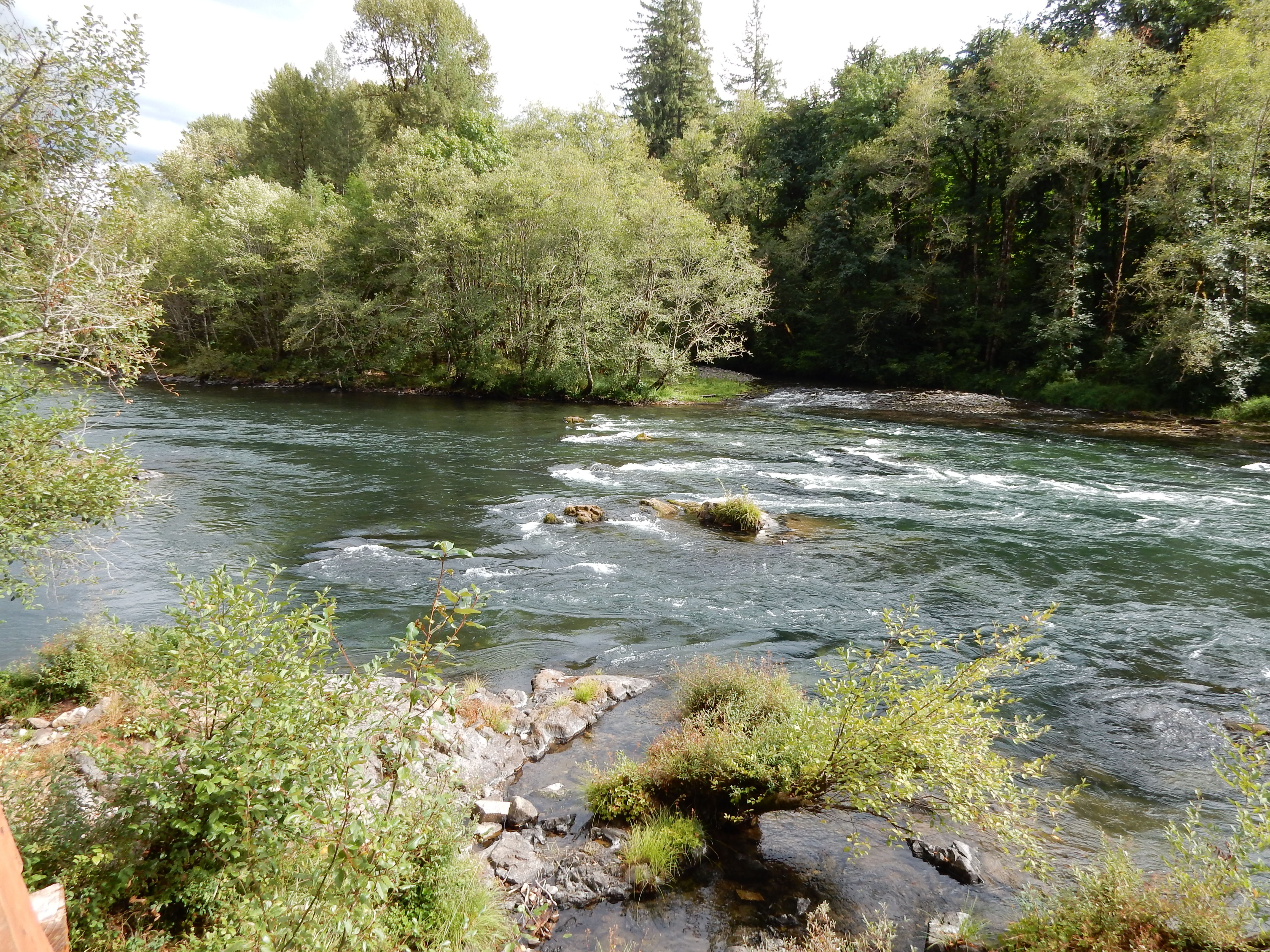
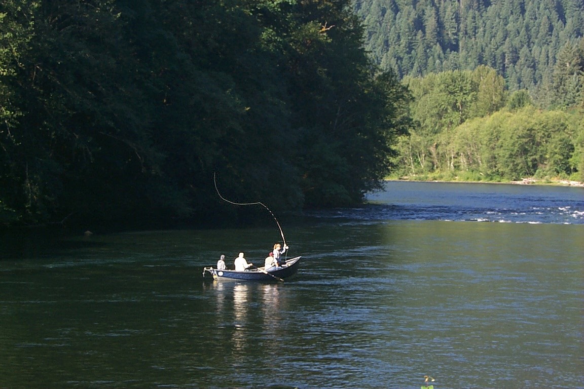
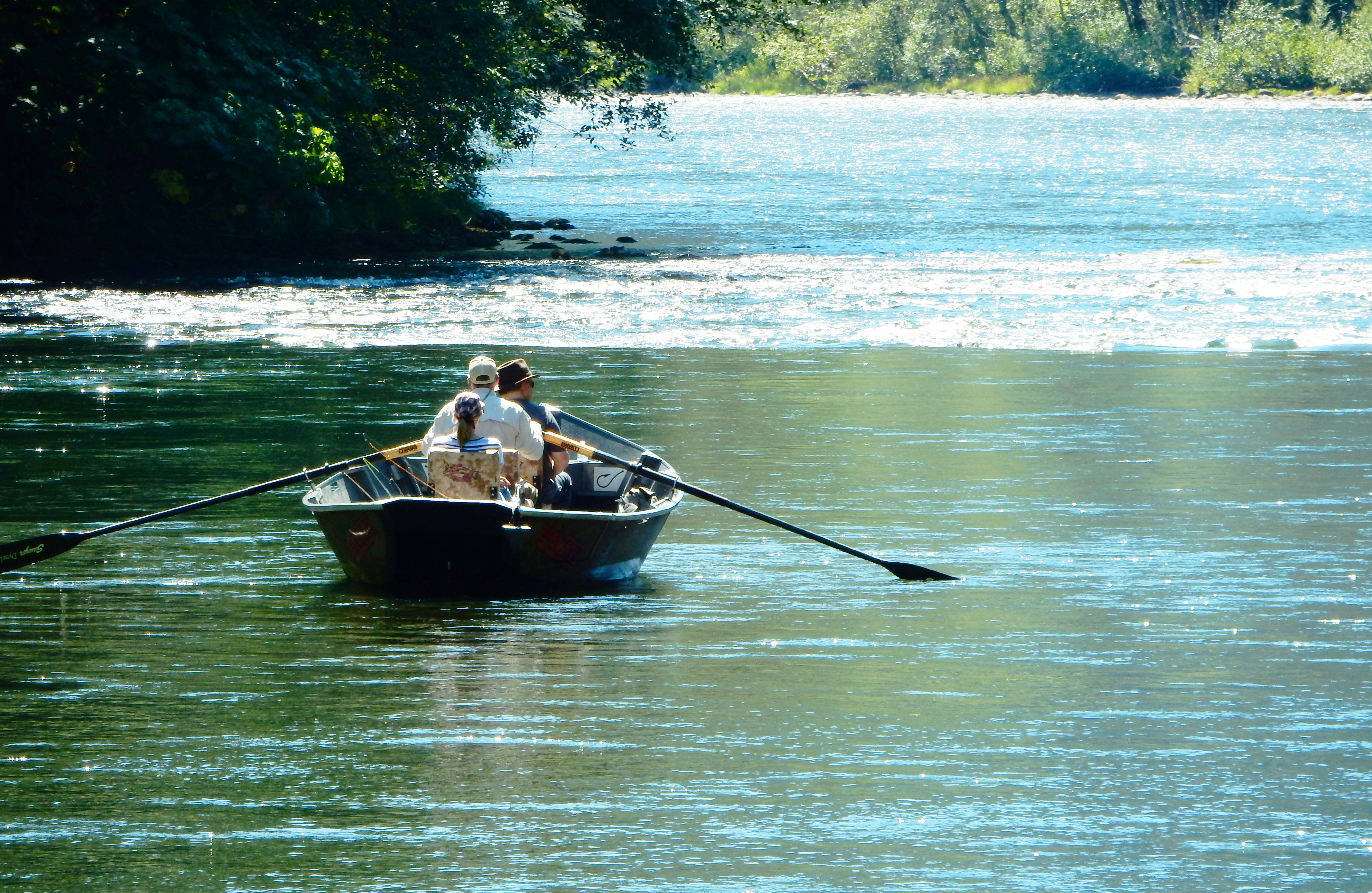
The river visitor is apt to be rewarded in delightful ways while recreating in the cool, lush corridor, home to an array of fish and wildlife, and inspiring scenic beauty. The cold waters teem with prized fish and challenging rapids that test the skills of fishers, rafters, and kayakers alike. In the air, osprey and other birds of prey eagerly scan the waters looking for that satisfying meal of the day. On land, deer meander in search of cover and forage with seemingly abundant options from which to choose. Active sport or quiet contemplation find a natural fit among the flowing waters, cathedral-like forest, and rounded boulders positioned along the river like sentries on watch.
Know Before You Go:
- BLM manages 2 boat launch facilities (Rennie and Silver Creek) on the north side of the McKenzie River east of Leaburg, and 1 on the south side along Deerhorn Road (Taylor Landing).
- Day use of developed sites is allowed.
- Camping in dispersed areas allowed unless signed otherwise.
- Please support the continued health and beauty of the river corridor by using facilities appropriately where provided, and applying pack-it-in/pack-it-out practices in undeveloped, natural areas.
Point of Interest
The historic Goodpasture Covered Bridge is one of the most beautiful and photographed covered bridges in Oregon. Built in 1938 and spanning 165 feet across the McKenzie River, it is Oregon's 2nd longest covered bridge.
McKenzie River Brochure
Explore Oregon Recreation: McKenzie River
Photos
Phone
Activities
Addresses
Geographic Coordinates
Directions
Take exit 194A from Interstate Highway 5 onto Highway 126. Travel 7 miles east towards McKenzie River Hwy. Turn left at junction and proceed east to access BLM lands and facilities which, in addition to the highway, can be reached via Deerhorn and Goodpasture Roads


