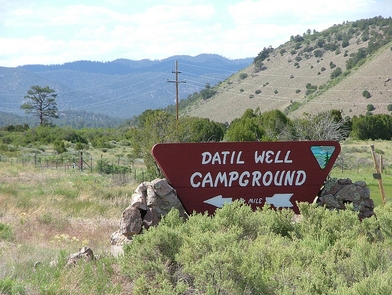
Datil Well Recreation Area Campground
Datil Well Recreation Area Campground includes one of 15 water wells along the old Magdalena Livestock Driveway. The old cattle trail was established in the 1800s and stretched 120 miles from Springerville, Arizona, to Magdalena, New Mexico. The area includes 3 miles of hiking trails in pinyon-juniper and ponderosa pine woodlands, with scenic views of the San Augustin Plains. The trail and vistas also offer an occasional glimpse of wildlife in a setting of quiet and solitude. You can close your eyes and almost hear the cattle lowing as they settle in for the night.Please leave a clean camp and respect the facilities and natural surroundings. Pack it in. Pack it out.
Photos
Phone
Activities
Addresses
Socorro Field Office
901 S. Highway 85
Socorro
New Mexico
87801
Geographic Coordinates
34.154286, -107.858093
Directions
The Datil Well Recreation Area Campground is off of US 60. Go 1 mile west of Datil on US 60 or south on NM 12.


