Lewis and Clark National Historic Trail
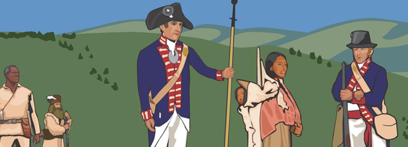
In 1803, Meriwether Lewis and William Clark embarked on their historic expedition along what we now recognize as the Lewis and Clark National Historic Trail. Stretching roughly 4,900 miles from Pittsburgh, Pennsylvania, to Astoria, Oregon, this trail traverses 16 states and numerous tribal lands, preserving a crucial chapter in American history.
Managed by various federal land management agencies, as well as state, local, tribal, and private organizations, sections of the trail provide visitors with an authentic glimpse into the landscapes encountered by the explorers. Notably, the 2019 John D. Dingell, Jr. Conservation, Management, and Recreation Act expanded the trail by an additional 1,200 miles along the Ohio and Mississippi Rivers, linking Pittsburgh to Wood River, Illinois.
One prominent landmark along the route is Pompey’s Pillar National Monument in Montana, where Captain Clark's signature remains engraved—a tangible link to the expedition's passage. Despite being one of the few physical remnants, its preservation underscores the enduring legacy of Lewis and Clark's exploration and collaborative efforts to safeguard America's historical heritage.
Today, the Lewis and Clark National Historic Trail continues to attract visitors eager to retrace the steps of these intrepid explorers, gaining insight into the diverse landscapes and cultures that shaped the nation's identity.
Idaho
Download the Lewis and Clark Backcountry Byway Guide.
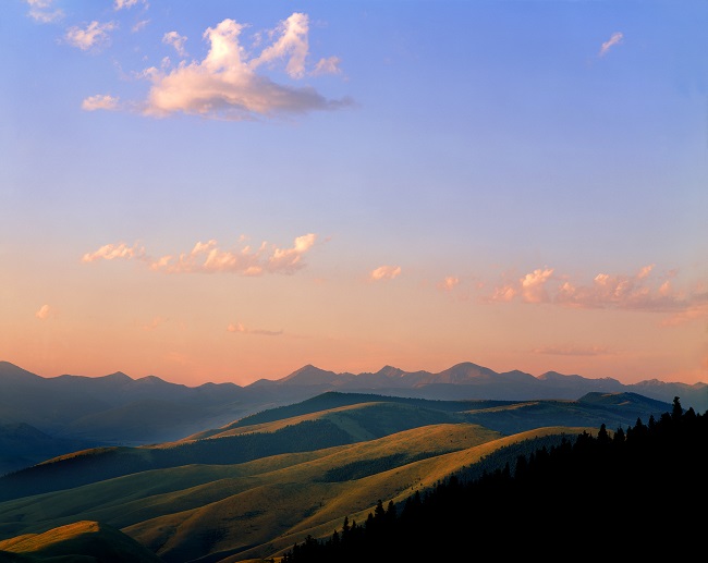
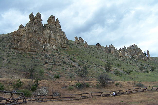
 In Idaho, the area surrounding the Lewis and Clark National Historic trail traverses four habitats: river valley, sagebrush grasslands, mountain forests and meadows and high desert canyons. Visitors here will be treated to incredible views of the Lemhi Valley and the surrounding mountain ranges; truly some of the finest scenery in America! The area still looks much the same today as it did when the Lewis and Clark Expedition journeyed here.
Between May 1803 and September 1806, Lewis and Clark’s Corps of Discovery traveled 4,900 miles from the plains of the Midwest to the shores of the Pacific Ocean and back. In their search for a water route to the Pacific, they opened a window to the West for the young United States. Idaho’s Lemhi Valley, Camas and Weippe Prairies, along with the Salmon and Clearwater Rivers, played important roles in this expedition. Following the expedition, the trail through the Lemhi Valley continued to be used for exploration and fur trade through the 19th century and helped local settlement, mining and transportation.
The expedition followed long-established Indian trails of the local Agai Dika [“salmon eater”] Shoshone, who came to be known as the Lemhi Shoshone. Archaeological evidence suggests that the Shoshone may have arrived 3,500 years ago here. The chinook and sockeye salmon that returned here from the Pacific Ocean every summer to spawn were at the center of Lemhi life and culture.
Still well-known for its colorful wildflower displays especially in spring and summer, Captain Lewis collected three new plant species around the Lemhi Pass including mountain maple, common snowberry and Lewis’s monkey flower. Recreation opportunities for hiking, fishing and exploring abound throughout the high peaks of the Lemhi Range. Visitors here may also be lucky enough to spot wildlife like elk, mule and whitetail deer, black bear, moose, pronghorn antelope, coyotes and many smaller mammal species. Early mornings and evenings are the times to look for wildlife, particularly where forest and meadow meet. In Idaho, the BLM manages 35 miles of the Lewis and Clark National Historic Trail.
Montana
 The BLM manages about 330 miles of land along the National Park Service's Lewis and Clark National Historic Trail. Of the 330 BLM miles, 310 are in Montana and include the crown jewels of the trail—Pompeys Pillar and the Upper Missouri River Breaks National Monuments.
