Juan Bautista de Anza National Historic Trail
Juan Bautista de Anza National Historic Trail travels through BLM-managed lands in Arizona and California. In exploring the trail today, you can experience diverse deserts, mountains, and coastal areas, and learn the historical roles of American Indian and Spanish cultures in the settlement of Arizona and California.
"¡Vayan Subiendo!"
"Everyone mount up!" A familiar call from Spanish Lt. Colonel Juan Bautista de Anza. In 1775-76, Anza led more than 240 men, women and children on an overland journey across the frontier of New Spain to settle Alta California. Follow 1,200 miles in the footsteps of this intrepid, multiethnic expedition, and explore the rich cultural history of communities from Nogales, Arizona, to San Francisco, California.
The 1,200-mile Juan Bautista de Anza National Historic Trail commemorates, protects, marks, and interprets the route traveled by Anza and the colonists during the years 1775 and 1776 from Sonora, Mexico (New Spain), to settle Alta California and establish a mission and presidio at today's San Francisco. The Anza Trail was designated a National Historic Trail by Congress in 1990 through an amendment to the National Trails System Act (16 U.S.C. 1241-51).
Arizona
Sonoran Desert National Monument
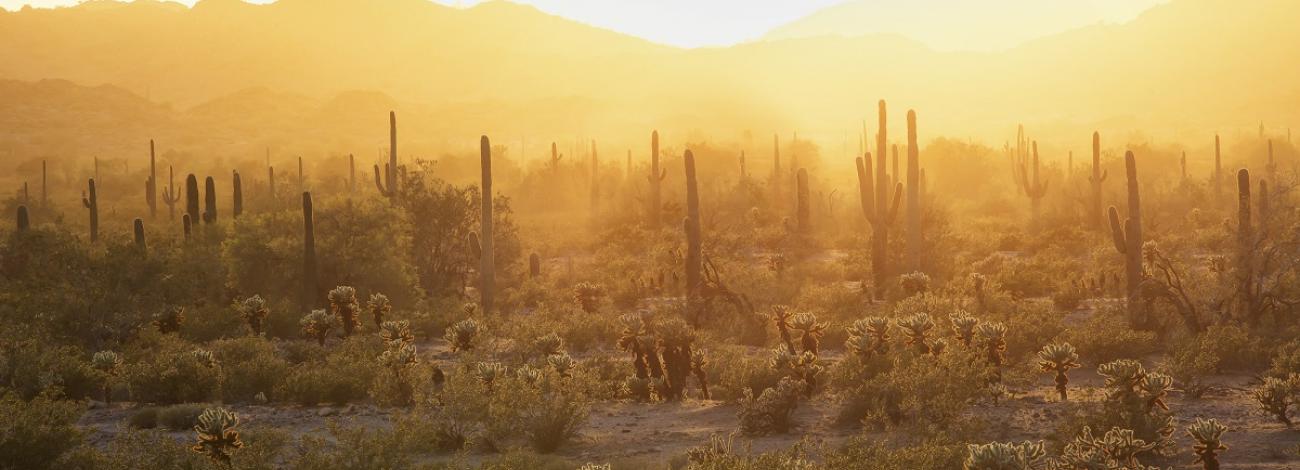
Foreboding mountains, tall saguaros, and a vast sky; just like it was when Anza passed through.
A 12-mile section of the Anza Historic Trail is now open to the public. Hikers, mountain bikers, and equestrians can all use this trail. It passes through the scenic Sonoran Desert National Monument. The trail follows or parallels the historic Butterfield Stage Route through Maricopa Pass.

