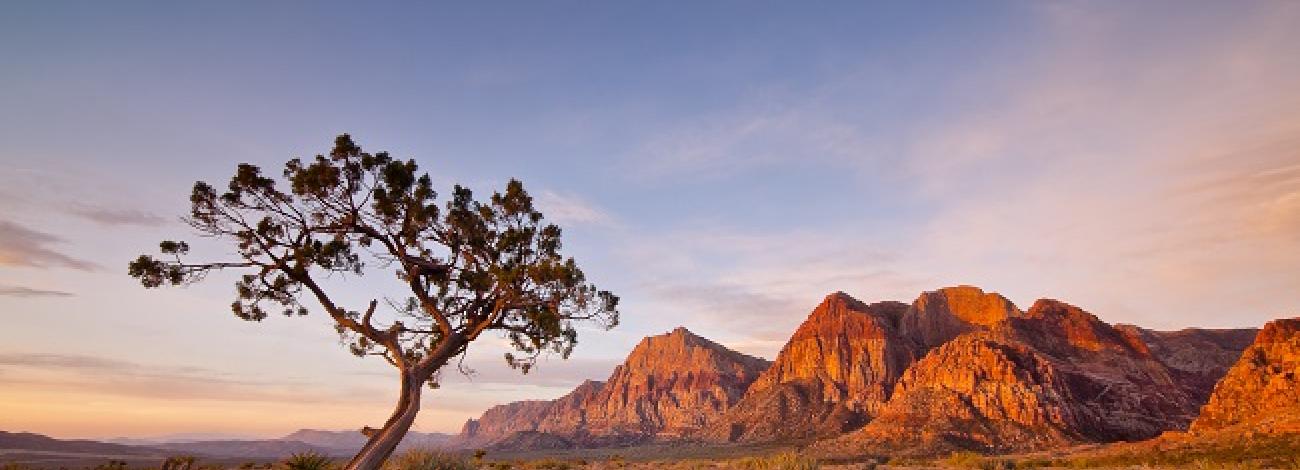
Nevada National Conservation Lands
Please use the drop down below to find out more about the National Conservation Lands in Nevada:
- National Monument and National Conservation Areas
- National Scenic and Historic Trails
- Wild and Scenic Rivers
-
There are three segments of the East Fork of the Carson River, located in Alpine County, California that have been determined eligible for inclusion in the National Wild and Scenic Rivers System. Collectively, all three segments total approx. 4.5 miles.
- Wilderness
-
Battle Mountain (2)
Carson City District (1)
Ely District (22):
- Becky Peak
- Big Rocks
- Bristlecone
- Clover Mountains
- Delamar Mountains
- Far South Egans
- Fortification Range
- Goshute Canyon
- Government Peak
- Highland Ridge
- Meadow Valley Range
- Mormon Mountains
- Mount Grafton
- Mt. Irish
- Mt. Moriah
- Parsnip Peak
- South Egan Range
- South Pahroc Range
- Tunnel Spring
- Weepah Spring
- White Rock Range
- Worthington Mountains
Southern Nevada District (13):
- Arrow Canyon
- Eldorado
- Ireteba Peaks
- Jumbo Springs
- La Madre Mountain
- Lime Canyon
- Mt. Charleston
- Muddy Mountains
- North McCullough
- Rainbow Mountain
- South McCullough
- Spirit Mountain
- Wee Thump Joshua Tree
Winnemucca District (11):
- Wilderness Study Areas
-
NOTE: If you are interested in viewing a BLM Nevada Wilderness Study Area (WSA) map, you can access the shapefiles from the BLM Geospatial Business Platform.
Instructions to access BLM Geospatial Business Platform
- Once on this site, in the search box type in BLM_NV
- Then scroll down the list to: BLM NV NLCS Wilderness Study Areas Polygons, click Search
- At this point you can hit the "+" key in the bottom left of the WSA section (next to "add to cart") and you can view the data in a map or hit the disc/save button, immediately to the left of the "+" sign and download the shapefile. (If the map doesn't appear, click on the word map on the tool bar at the top of the page).
Battle Mountain District (16):
- Kawich Mountain
- Rawhide Mountain
- South Reveille
- Palisade Mesa
- Blue Eagle
- The Wall
- Fandango
- Silver Peak Range
- Pigeon Spring
- Queer Mountain
- Grapevine Mountains
- Antelope Range
- Simpson Park
- Roberts Mountain
- Mountain Meadow Instant Study Area
- Pinyon Joshua Instant Study Area
- Morey Peak
Carson City District (4):
- Stillwater Range
- Job Peak
- Gabbs Valley Range
- Burbank Canyons
Elko District (10):
- Bluebell
- Goshute Peak
- South Pequop
- Bad Lands
- Cedar Ridge
- Red Spring
- Little Humboldt River
- Rough Hills
- South Fork Owyhee River
- Owyhee Canyon
Ely District (3):
- Goshute Canyon
- Park Range
- Riordan's Well
Southern Nevada District (4):
- Mount Stirling
- Million Hills
- Resting Springs
- Virgin Mountain Instant Study Area
Winnemucca District (12):
- Poodle Mountain
- Fox Range
- Pole Creek
- Selenite Mountains
- Mt. Limbo
- China Mountain
- Tobin Range
- North Fork of the Little Humboldt River
- Augusta Mountains
- Pueblo Mountains
- Disaster Peak
- Lahontan Cutthroat Trout Instant Study Area
Public land located in Nevada, but administered by BLM California Offices - Eagle Lake Field Office (5):
- Five Springs
- Skedaddle
- Dry Valley Rim
- Buffalo Hills
- Twin Peaks
Surprise Field Office (3):
- Wall Canyon
- Sheldon Contiguous
- Massacre Rim
