
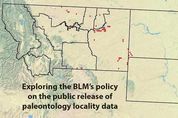
Exploring the BLM’s policy on the public release of paleontology locality data
Story by Greg Liggett, Paleontologist, Montana/Dakotas State Office. Photos by Scott Foss, Division Chief, Division of Education, Cultural & Paleontological Resources; and courtesy of Randolph Moses.
National Monument in Utah. (Photo by BLM)
A final Department of the Interior regulation was published at 43 CFR Part 49 – Paleontological Resources Preservation in order to implement the Paleontological Resources Preservation Act of 2009 (PRPA).
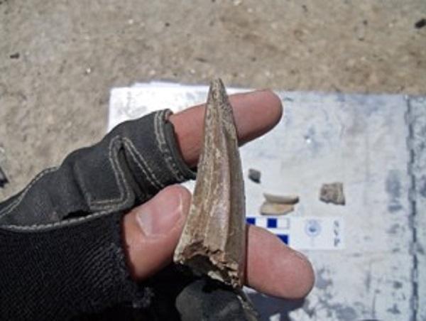
PRPA mandates that specific locality data will not be publicly released. Why? Like cultural heritage professionals, paleontologists wish to protect fossil resources from potential damage or theft, so the exact locality data is not publicly available. But what if slightly generalized locality data is shared? Upon the publication of the regulations at 43 CFR 49 related to PRPA, BLM issued PIM2022-009. Among other things, that IM set out the policy for how paleontology locality data actually can be shared with the public.
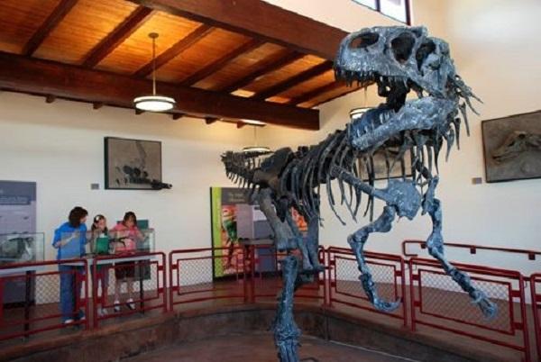
There are many good reasons to make the data available. For example, a student researcher might want to map out the locations in time and space for a particular group of prehistoric organisms as a GIS project. Or the public might be curious to know, for example, where tyrannosaur fossils come from.
Of course, in some cases the BLM wants everyone to know exactly where the locality is because we offer interpretation. The newly established Jurassic National Monument in Utah is a good example.
The new guidelines allow for the public disclosure of locality data that has the latitude and longitude truncated to the first decimal place when expressed in decimal-degrees. After coordinating with professional colleagues and major museums, including the Smithsonian National Museum of Natural History, BLM specialists determined that, in general, this will specify a locality to within about six miles of its actual location, or approximately to the precision of a regular township.
This level of precision is close enough to allow large scale reviews of geographic occurrences while also safeguarding the resources from potential harm. Visit the BLM’s recently updated Paleontology Resources Webpage for additional information.
Related Stories
- BLM enhances trail access in Billings area for outdoor users
- Community in action at Four Dances Recreation Area
- Protecting Lands and Communities: Shaila Pomaikai Catan
- Strong turnout and new beginnings: 26 wild horses placed at Montana adoption event
- Celebrating the power of public lands through tourism and community impact
Office
5001 Southgate Drive
Billings, MT 59101
United States