
Public map app boasts new functions, regular updates & mobility
increased functionality.
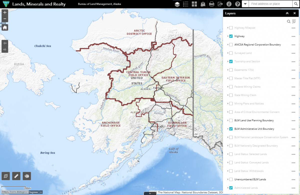
Alaska’s BLM officially unveiled a new publicly accessible Lands, Minerals, and Realty web map app this week that is mobile friendly, regularly updated, and boasts new functionality for using Geographic Information Systems (GIS).
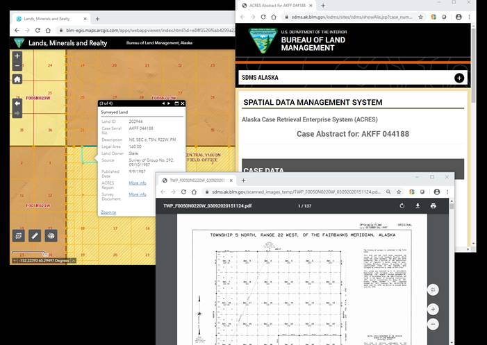
Affectionately referred to as “LMaR” (pronounced “Lamar”), the underlying software platform offers data from the Alaska Land Information System along with other relevant GIS data, providing comprehensive and up-to-date information in one web map application. LMaR’s increased functionality enables users to better visualize GIS data associated with public land management in addition to allowing users to add their own GIS data to the web map app.
(“topo”), imagery, terrain view, and more.
Best of all, the new publicly accessible web map app is available at the same place you’re used to visiting at https://sdms.ak.blm.gov/sdms/ or directly at https://arcg.is/Dmebi, and you can always find it via the Interactive Maps Gallery link on our Geospatial Management web page (https://www.blm.gov/services/geospatial/GISData/alaska).
“The interface is more intuitive than previous versions,” said Cathy Hillis, BLM Alaska’s geospatial manager “The new web map’s interface is similar to other popular interactive web maps for a familiar feel and fast, automatic refreshes.”
and Alaska Land Information System data.
That familiar feel and increased functionality includes the ability to:
- Zoom in and out on the map using your mouse wheel.
- Set visibility range and adjust transparency for each layer.
- Re-order the map layers and turn layers off and on.
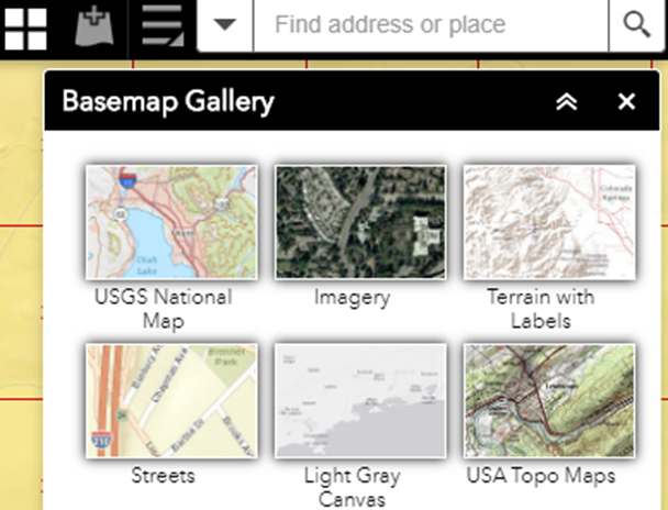
- Choose different base maps, such as topo, imagery, or terrain view
Hillis and her team have collected and incorporated feedback from stakeholders and BLM employees since the system’s soft launch in January to help ensure the new service better meets the needs of a broad range of customers. Still, Hillis encourages customers to continue providing feedback to her at [email protected].
Related Stories
- BLM Recreation Sites Available to All: Exploring Accessibility on Alaska’s Public Lands
- A boatload of recreational opportunities
- Exploring the Campbell Tract Special Recreation Management Area: Flora, fauna, and volunteer opportunities
- Far more than a few beavers
- Love letters from our public lands: Wolf Run Cabin
Office
222 W 7th Avenue #13
Anchorage, AK 99513
United States