Visit Search Results Page

1417 Results

Wolf Creek Falls Wolf Creek Falls
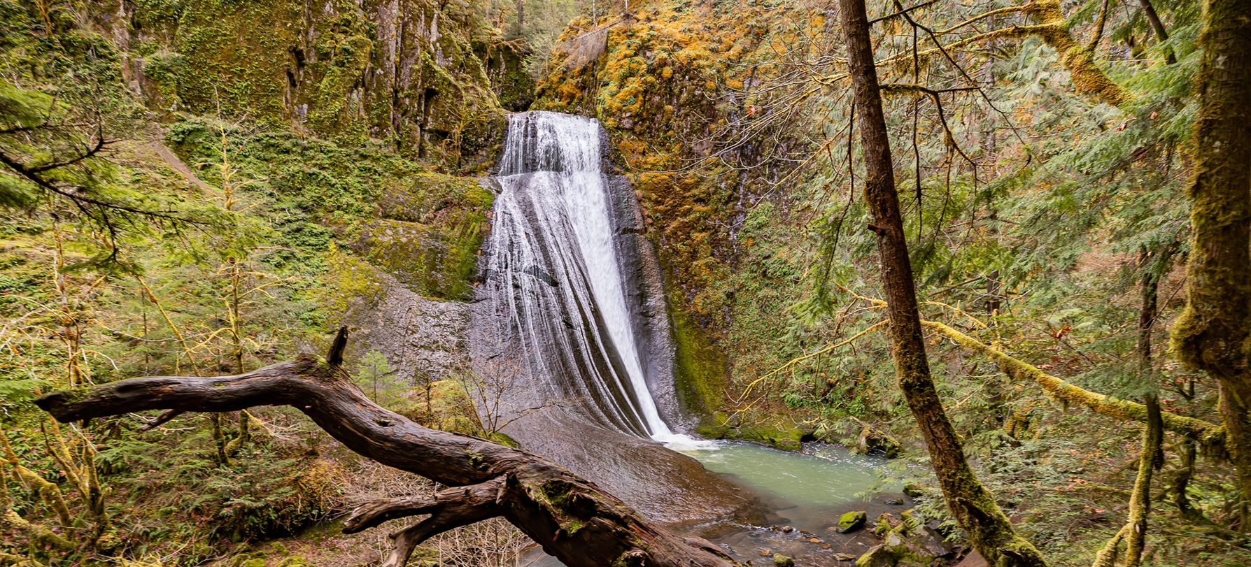
Pack a lunch and head out for an attractive hike through an old growth forest. This 1.2 mile forest trail leads to a cascading two-tier waterfall that plummets 75 and 50 feet into plunge pools.
The Wolford Mountain area provides unrestricted use for the foot traffic throughout the area. The 0.2 – mile Wolford Reservoir trail is designated for foot and horse traffic. The trail descends through the sagebrush habitat, providing access to the shore...
Wolverine Canyon has opportunities for dispersed camping, snowmobiling, rock climbing and mountain biking & hiking. Opportunities are also available for wildlife viewing - If you're lucky, you may see a Bald Eagle flying above the canyon.
This trailhead provides access to approximately 30 miles of single track trail for mountain biking and trail running. The trailhead is on SITLA land and managed by Carbon County.
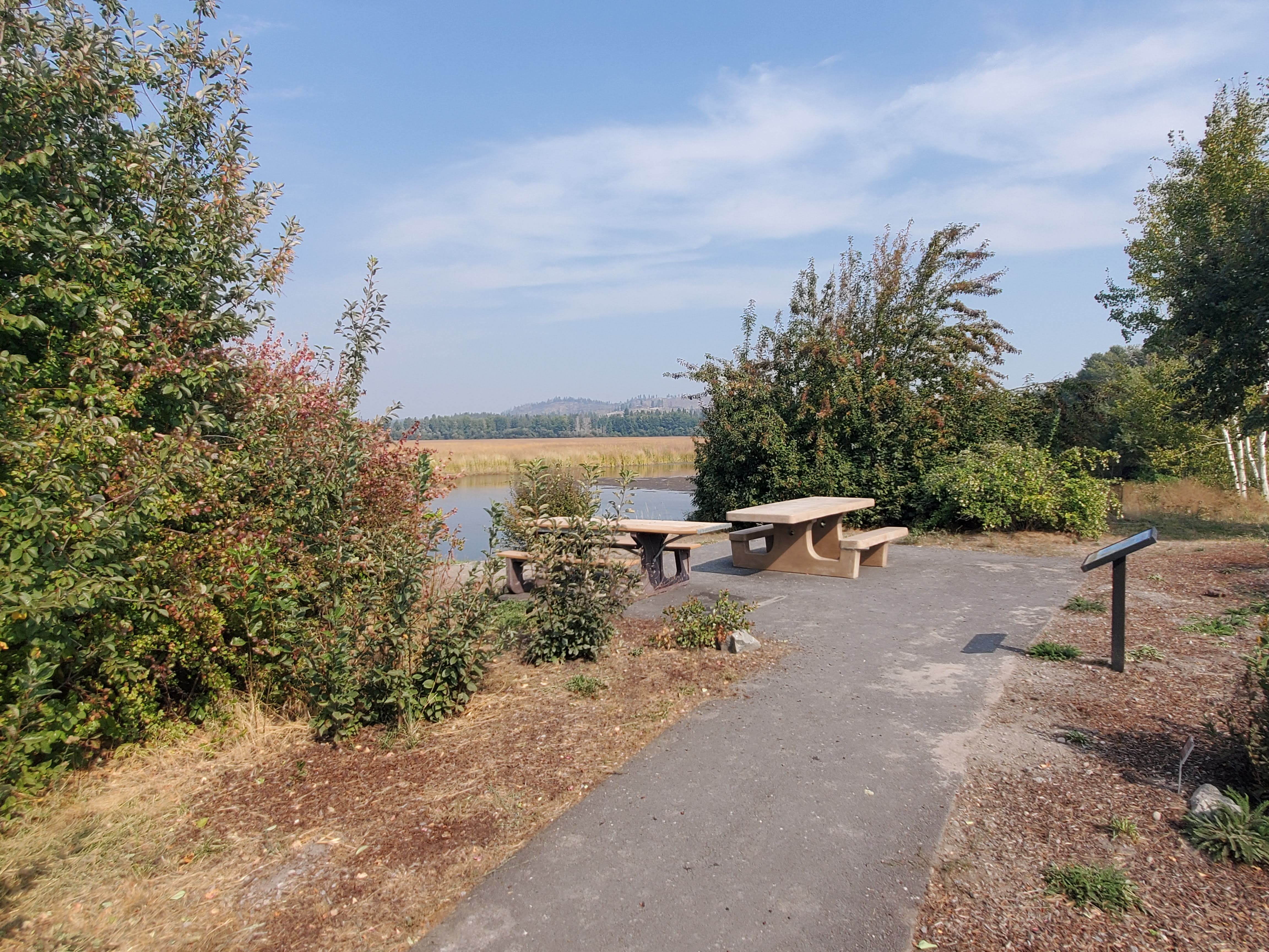
Accessible paved trail and picnic tables Accessible paved trail and picnic tables
Immerse yourself in the sounds of migratory birds and waterfowl in the Wood River Wetland on the north side of Agency Lake. A trail borders a native pollinator garden and leads to expansive views.
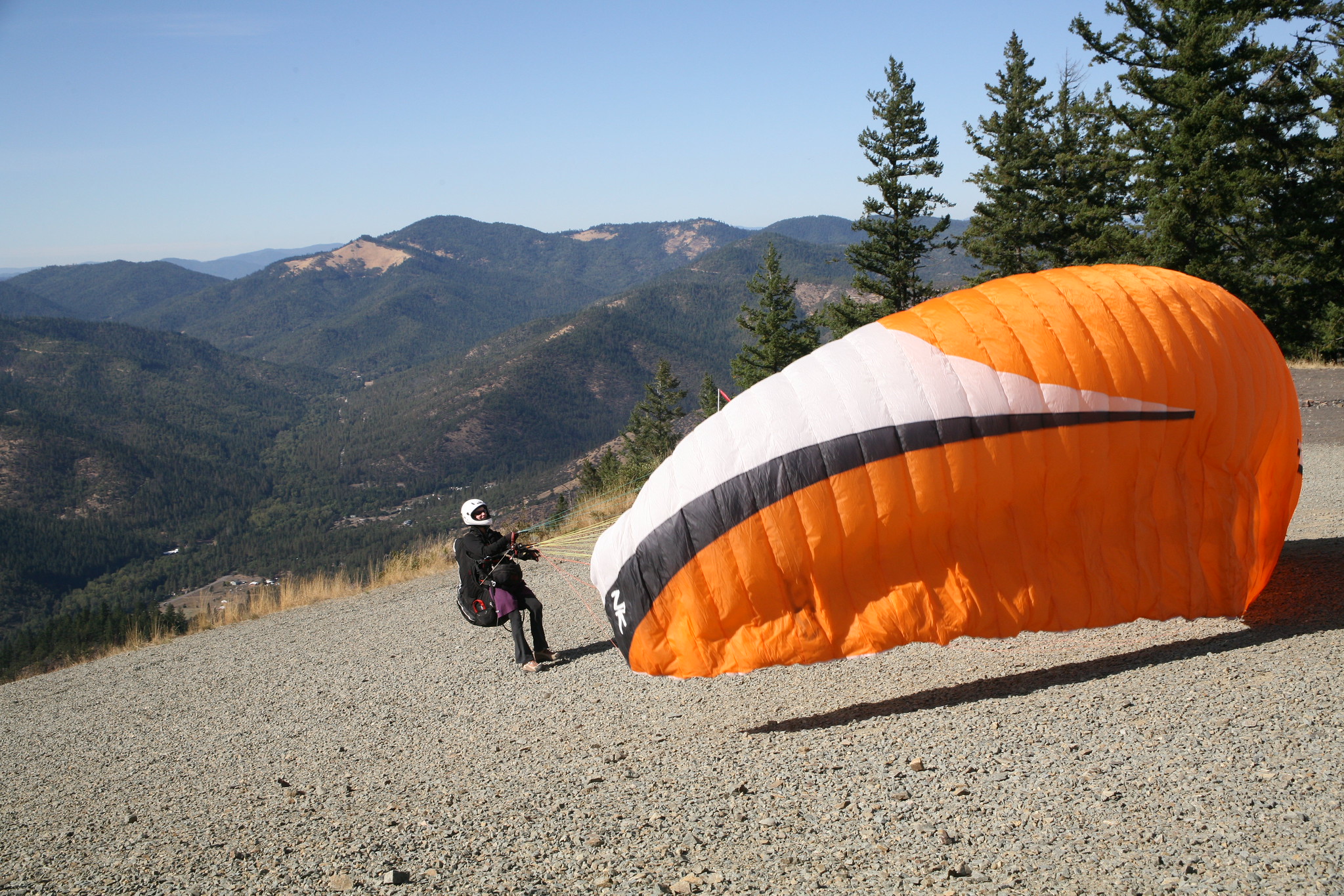
Paragliding at Woodrat Mountain Paragliding at Woodrat Mountain
Woodrat Mountain has world class launch sites for hang and paragliding. The two sites, mid and upper launch, are accessible for passenger vehicles and offer spectacular views and opportunities to launch. The mid launch site overlooks the Bishop Creek Drainage...
Explore Woolsey Peak, prominent landmark of southwestern Arizona, and more in this 64,000-acre wilderness area.
The WSAs topography varies from benchland to steep hillsides. Elevation ranges from 6500 feet to 7200 feet. The surrounding terrain contains high elevation basins and steep mountain peaks. Several peaks on the main ridge near the WSA exceed 9000 feet...
Yakima River Canyon Yakima River Canyon
The canyon offers excellent wildlife watching, trout fishing, family-friendly rafting, and camping. The canyon's crevices and cliffs make a perfect home for the densest concentration of nesting birds.
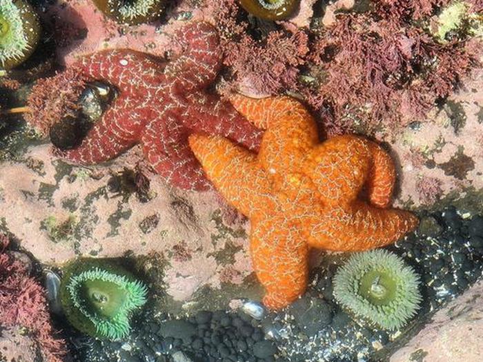
Two sea stars, one red and one orange, with two green anemones. Two sea stars, one red and one orange, with two green anemones.
Visit Yaquina Head Outstanding Natural Area, a stunning coastal destination along the Oregon coast. With dramatic cliffs, tide pools, and ocean views, it’s a wonderful spot to explore.
Recommended Users: Mountain Bikers, Hikers. Singletrack trail. 0.54 miles in length. Difficulty: Most Difficult. Although this trail is entirely on SITLA (School Institutional Trust Lands), it is listed here in order to describe all the Gooseberry Mesa trails in their...
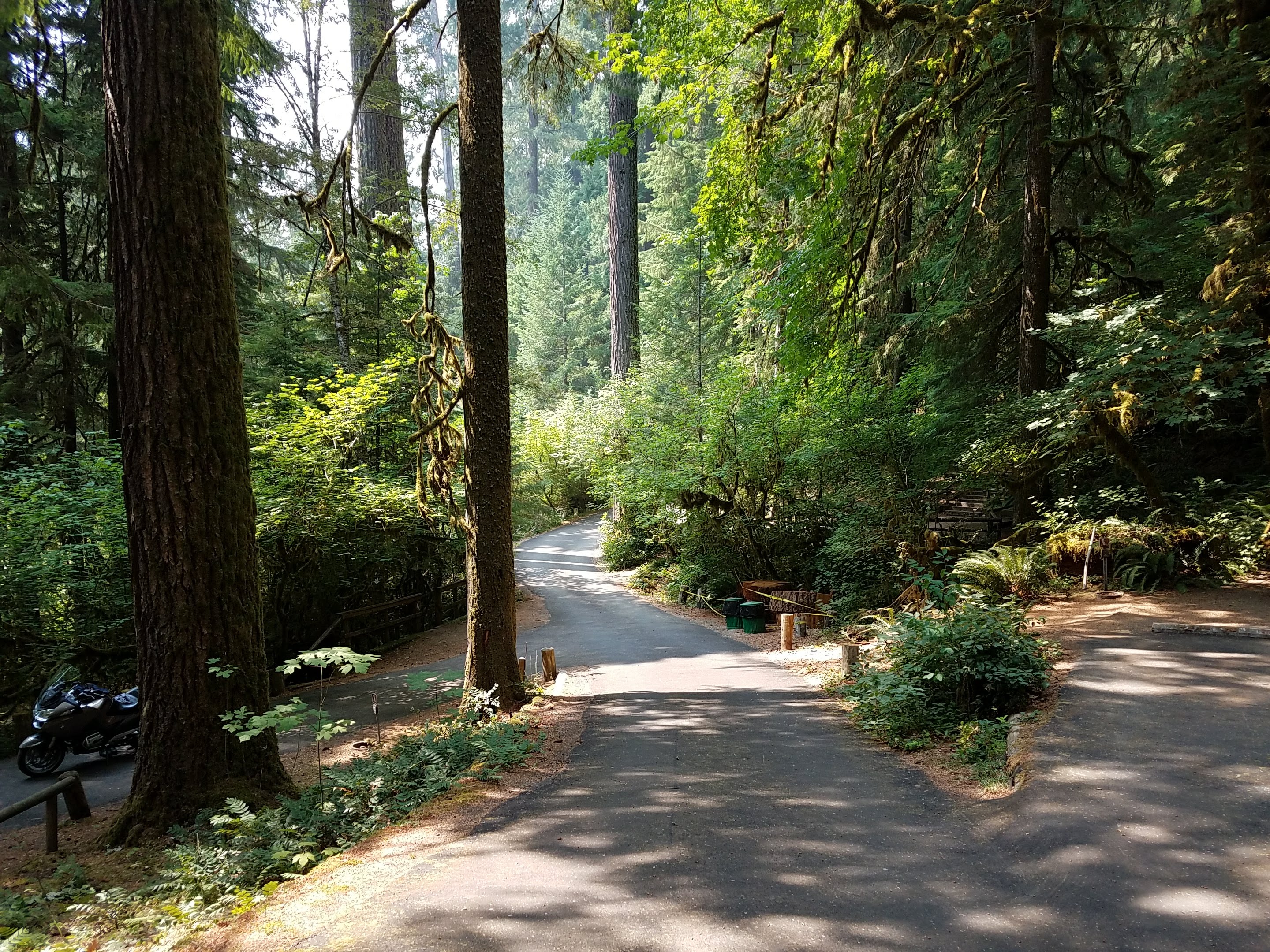
Loop road at Yellowbottom Recreation Site Loop road at Yellowbottom Recreation Site
Yellowbottom offers a one-mile hiking trail, access to Quartzville Creek Wild and Scenic River, and a take off point to explore nearby recreation trails.
Take a walk in 1598 with Don Juan de Oсate and those who traveled on El Camino Real. This 3 mile-long trail leads up to the historic Camino Real. You will be walking where thousands of wagons, people and livestock...
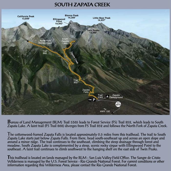
Zapata Falls Recreation Area Map & Info Zapata Falls Recreation Area Map & Info
Overview A short drive up the gravel road that leads to the Bureau of Land Management’s Zapata Falls Campground (CG) will let visitors to the area see the San Luis Valley and Great Sand Dunes National Park & Preserve from...
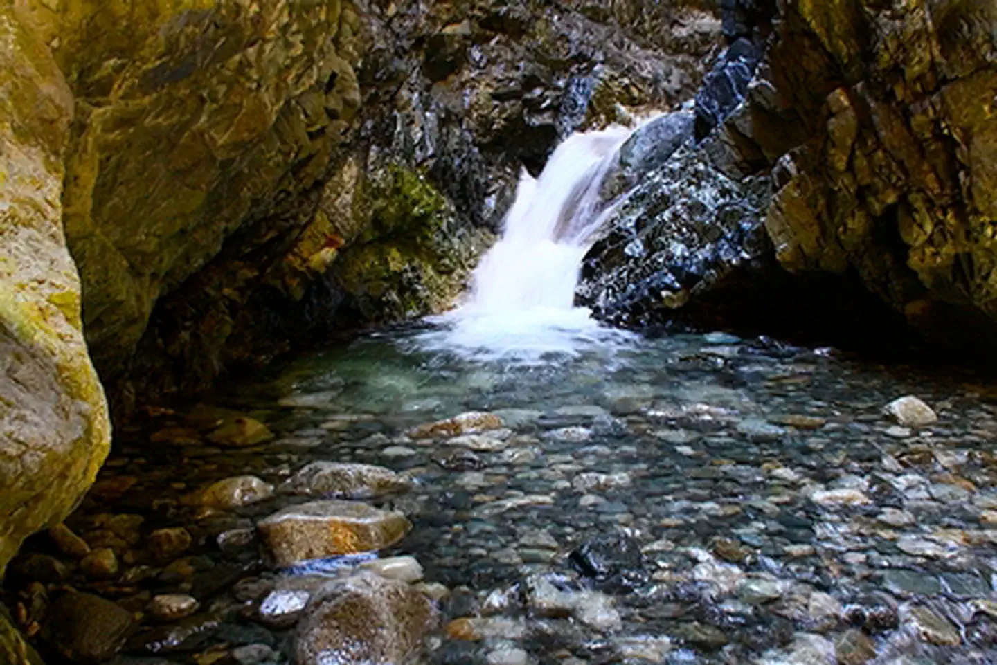
Zapata Falls Zapata Falls
A short, yet slippery hike leads to the view of a 25-foot waterfall at Zapata Falls Recreation Area. During the summer months, the falls provide a cooling oasis, but during the winter months, the waterfall freezes into an enormous column...
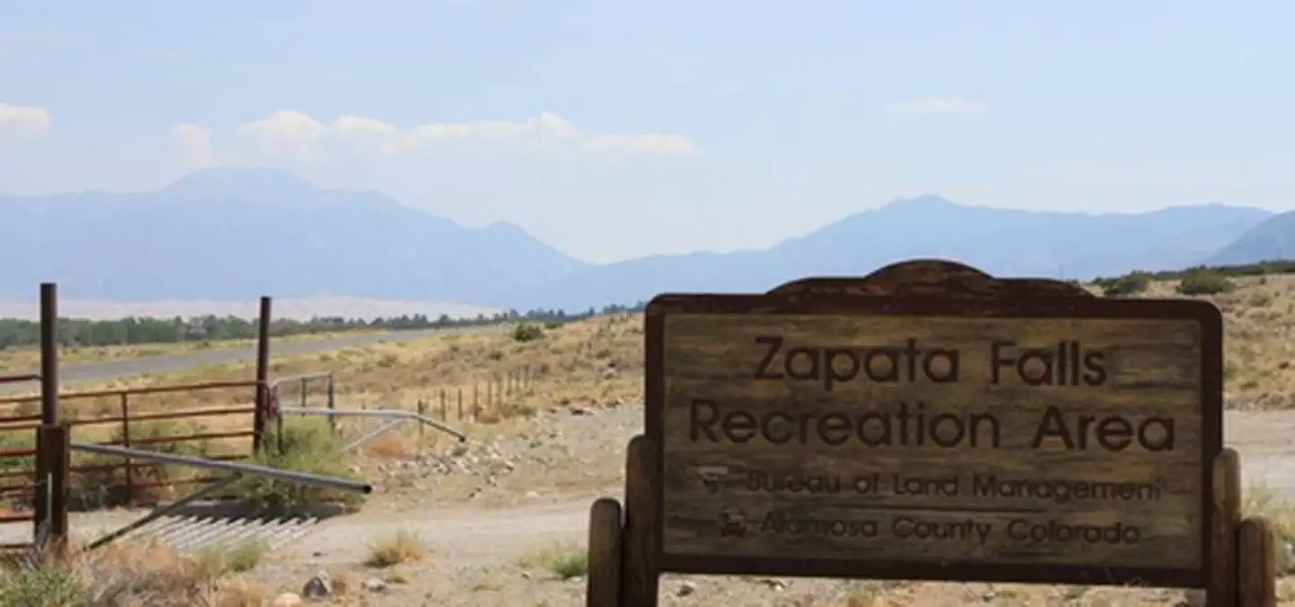
Zapata Falls Recreation Area Zapata Falls Recreation Area
Zapata Falls is a waterfall located near the base of the Sangre de Cristo Mountains on Bureau of Land Management land adjacent to Rio Grande National Forest and south of Great Sand Dunes National Park. The falls has a drop...
Red Spring group Picnic Area 1 Red Spring group Picnic Area 1
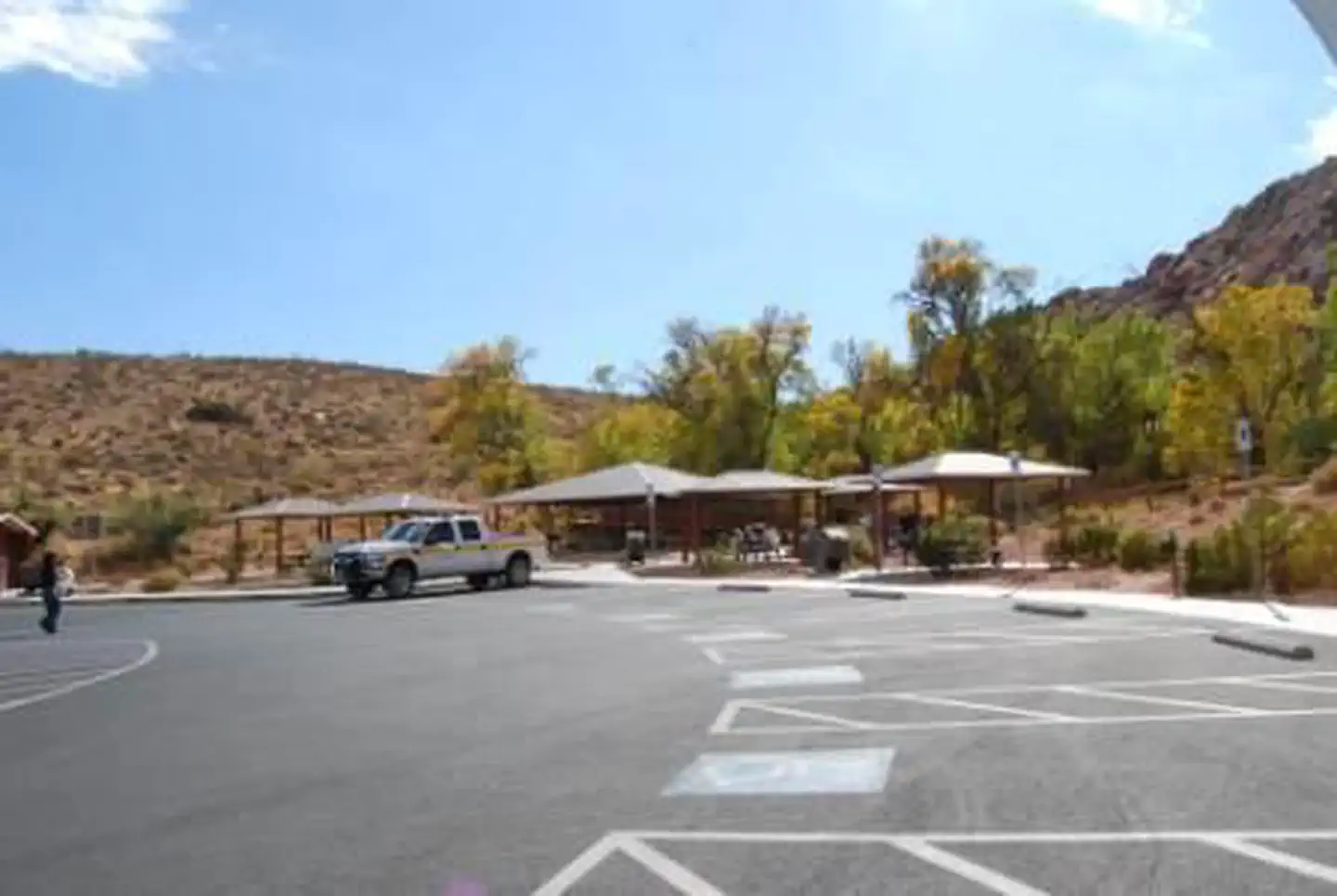
Overview The Red Spring Picnic Area features spectacular views of the red and tan sandstone cliffs of Calico Basin. The area is tucked between the gray limestone La Madre Mountains to the north, the red sandstone Calico Hills to the...