


Water Resources of Two Anadromous Tributaries to the Gulkana Wild and Scenic River, Alaska: Stream Gage Data, 2008–2014
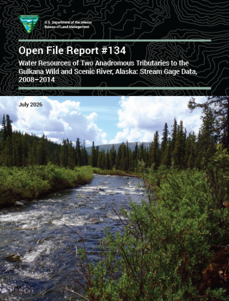
This report summarizes stream gage information collected by the Bureau of Land Management (BLM) from 2008 to 2014 in the Hungry Hollow and Twelvemile Creek watersheds. Both creeks are tributaries to the Gulkana Wild and Scenic River system managed by the BLM. The information presented supports achievement of various BLM management goals and objectives for this watershed, with an emphasis on the Gulkana Wild and Scenic River and the Hungry Hollow and Twelvemile Creek corridors. The Hungry Hollow watershed drains approximately 56 square miles, with the creek originating in the Alaska Range at about 4,000 feet and flowing south 16.5 miles to the Middle Fork of the Gulkana River. The Twelvemile Creek watershed drains approximately 43 square miles, with the creek originating on the east end of the Alphabet Hills at about 3,500 feet and flowing east 15.5 miles to the main stem of the Gulkana River. The Gulkana River drains into the Copper River and ultimately the Gulf of Alaska. Hungry Hollow and Twelvemile Creeks are both high-value anadromous streams, and they provide a variety of recreational, fish, wildlife, and other socioeconomic values. Management objectives established for the Gulkana Wild and Scenic River and tributaries within the corridor include maintaining the pristine, free-flowing condition of the river and tributaries, optimal and long-term utilization of fish and wildlife resources, and high-quality primitive recreational opportunities. This report summarizes BLM continuous and instantaneous gage data and other relevant hydrologic and physical information to support achievement of these and other BLM management goals and objectives for the Hungry Hollow and Twelvemile Creek watersheds.